| P number: | P204193 |
|---|---|
| Old photograph number: | A04245 |
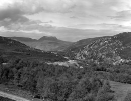
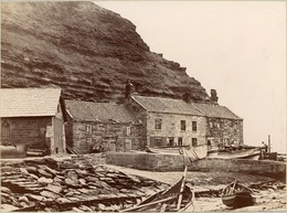
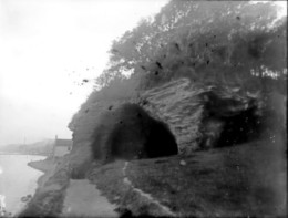
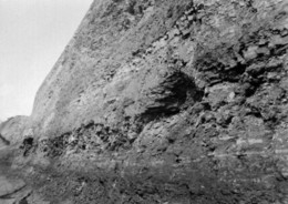
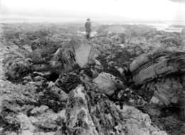
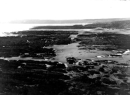
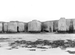
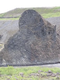
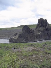
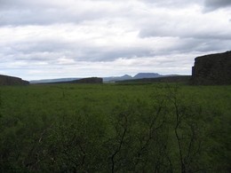
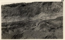
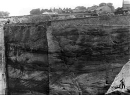
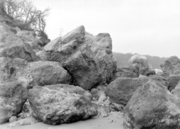
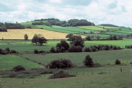
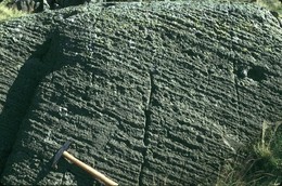
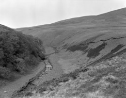
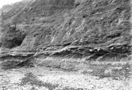
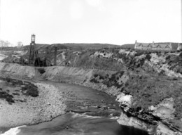
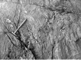
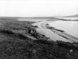
| Caption: | About 1/2 m. NW of Chalk Hall, 2 m. SW of Condicote. Looking E. |
| Description: | About 1/2 m. NW of Chalk Hall, 2 m. SW of Condicote. Looking E. Fault valley. The valley follows a fault line. The far (north) bank consists of Great Oolite resting on Chipping Norton Limestone; the near bank is formed of Inferior Oolite capped by Chipping Norton Limestone. |
| Date taken: | Sun Apr 01 00:00:00 GMT 1928 |
| Photographer: | Rhodes, J. |
| Copyright statement: | Crown |
| X longitude/easting: | 413500 |
| Y latitude/northing: | 226500 |
| Coordinate reference system, ESPG code: | 27700 (OSGB 1936 / British National Grid) |
| Orientation: | Landscape |
| Size: | 196.56 KB; 1001 x 726 pixels; 85 x 61 mm (print at 300 DPI); 265 x 192 mm (screen at 96 DPI); |
| Average Rating: | Not yet rated |
| Categories: | Unsorted Images |
Loading...
Loading...
Reviews
There is currently no feedback