| P number: | P528152 |
|---|---|
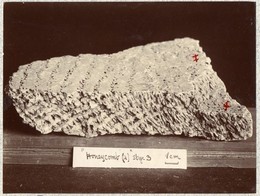
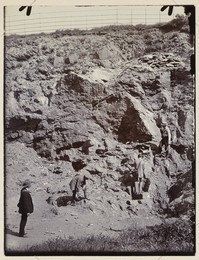
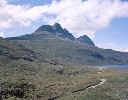
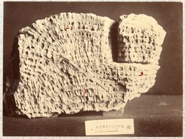
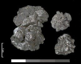
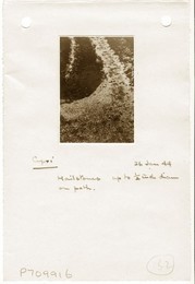
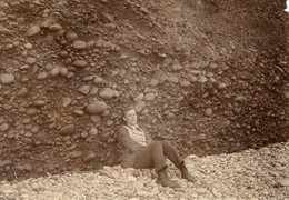
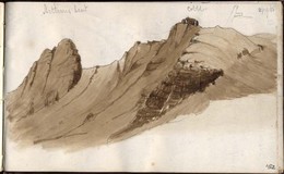
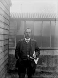
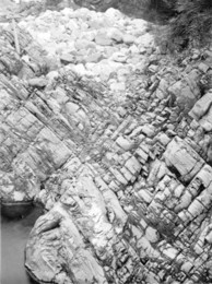
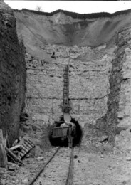
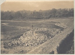
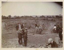
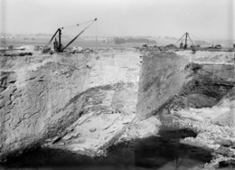
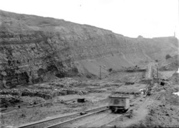
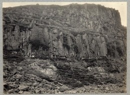
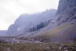
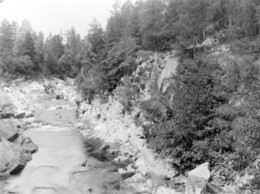
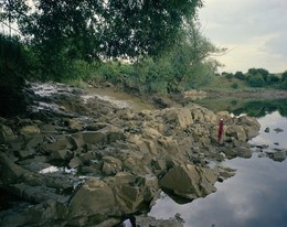
| Caption: | Map of the Lecht iron ore vein, Tomintoul, Banffshire. |
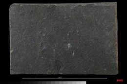
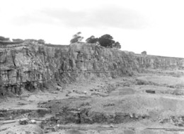
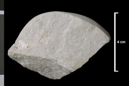
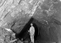
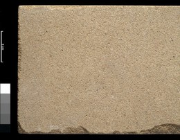
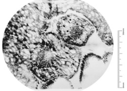
| Description: | The map indicates the site of the mine and a number of known outcrops of the vein. The vein can be traced along a line running south 15 degrees west, then south, then south-south-east for a distance of four miles. The outcrop of the vein runs in a narrow and fairly deep valley drained by two small streams which unite to form the Conglass Water. The course of these valleys has been determined by the belt of brecciated rock in which the iron ores occur. Recent work indicates this is a post-Dalradian explosive intrusion-breccia. The mine can be found at the point marked A on the map. A trenching exercise by the Geological Survey of Scotland in 1917 proved a vein 30 feet wide. Adjacent to the vein the country rock is much broken and filled with ochreous material. On the east side there was 15 feet of lumpy, reddish brown siliceous limonite with manganese ore. The material was more compact on the western side. |
| Date taken: | Sun Jun 25 00:00:00 GMT 1905 |
| Photographer: | Unknown |
| Copyright statement: | Unknown |
| Orientation: | Portrait |
| Size: | 147.17 KB; 542 x 1000 pixels; 46 x 85 mm (print at 300 DPI); 143 x 265 mm (screen at 96 DPI); |
| Average Rating: | Not yet rated |
| Categories: | Unsorted Images |
Loading...
Loading...
Reviews
There is currently no feedback