| P number: | P205456 |
|---|---|
| Old photograph number: | A05522 |
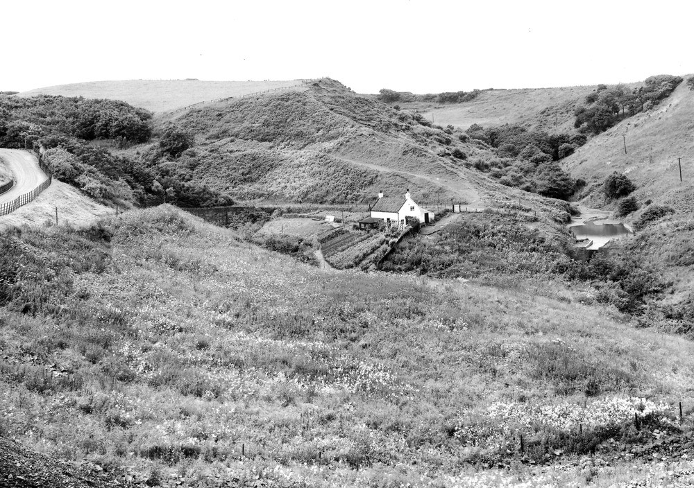
| Caption: | Raithwaite Viaduct, Sandsend. Looking SW. |
| Description: | Raithwaite Viaduct, Sandsend. Looking SW. Parallel streams at margins of drift-filled valley, near Raithwaite Viaduct, Sandsend. A pre-glacial valley here reaches the shore. It was filled with boulder clay to the height of the highest ground. The present drainage has cut two gorges along the junctions of the boulder clay plug (seen in centre) with the solid rock on either side. The two streams unite in foreground, 200 yards from the shore, after following these roughly parallel courses for over a mile (see also A5523). |
| Date taken: | Wed Jul 01 00:00:00 BST 1931 |
| Photographer: | Rhodes, J. |
| Copyright statement: | Crown |
| X longitude/easting: | 486500 |
| Y latitude/northing: | 511500 |
| Coordinate reference system, ESPG code: | 27700 (OSGB 1936 / British National Grid) |
| Orientation: | Landscape |
| Size: | 324.00 KB; 1000 x 704 pixels; 85 x 60 mm (print at 300 DPI); 265 x 186 mm (screen at 96 DPI); |
| Average Rating: | Not yet rated |
| Categories: | Unsorted Images |
Reviews
There is currently no feedback

