| P number: | P002856 |
|---|---|
| Old photograph number: | D02835 |
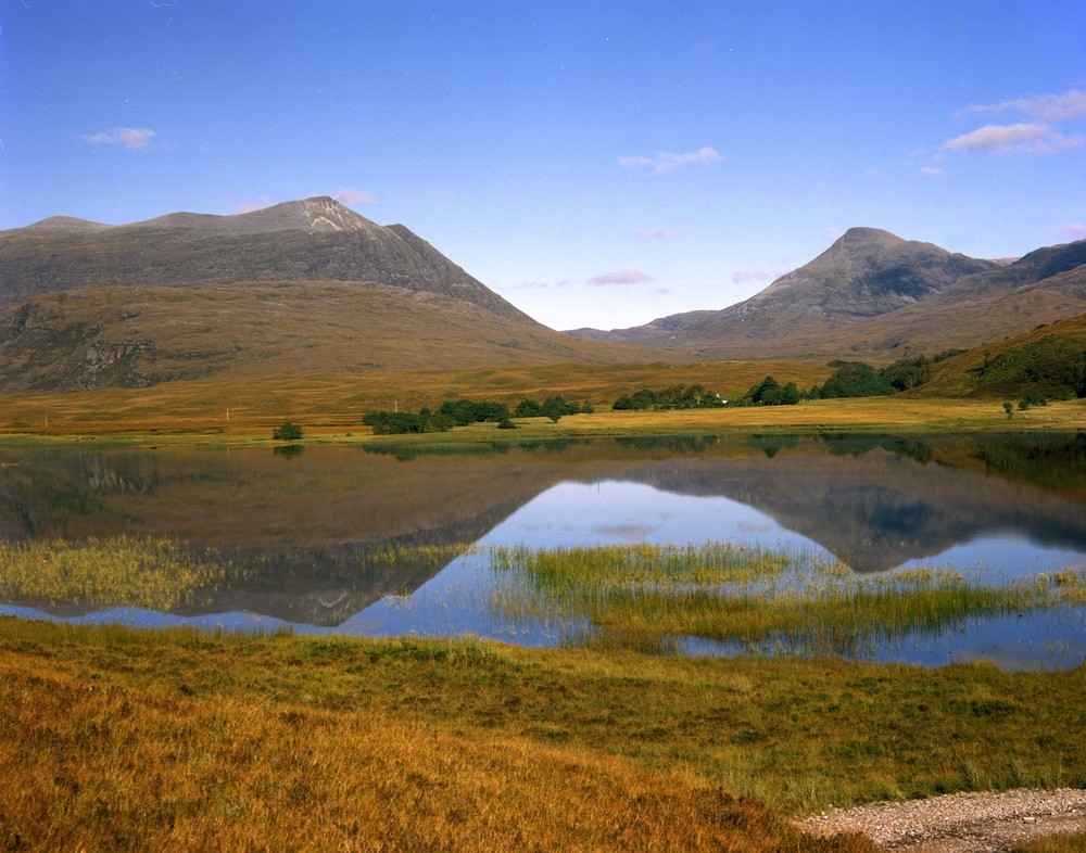
| Caption: | Loch an Loin, looking towards the east, Ross and Cromarty. A valley eroded along a fault line. |
| Description: | Loch an Loin, looking towards the east, Ross and Cromarty. A valley eroded along a fault line. The peak on the left-hand side is Torridonian and that on the right-hand side is Lewisian. The two are separated by a large fault which runs through the alluvial flat and up the valley. |
| Date taken: | Mon Oct 01 00:00:00 BST 1979 |
| Photographer: | Bain, T.S. |
| Copyright statement: | NERC |
| Acknowledgment: | This image was digitized with grant-in-aid from SCRAN the Scottish Cultural Resources Access Network |
| X longitude/easting: | 285300 |
| Y latitude/northing: | 944900 |
| Coordinate reference system, ESPG code: | 27700 (OSGB 1936 / British National Grid) |
| Orientation: | Landscape |
| Size: | 239.40 KB; 1000 x 786 pixels; 85 x 67 mm (print at 300 DPI); 265 x 208 mm (screen at 96 DPI); |
| Average Rating: | Not yet rated |
| Categories: | Best of BGS Images/ Landscapes |
Reviews
There is currently no feedback

