| P number: | P002273 |
|---|---|
| Old photograph number: | C02241 |
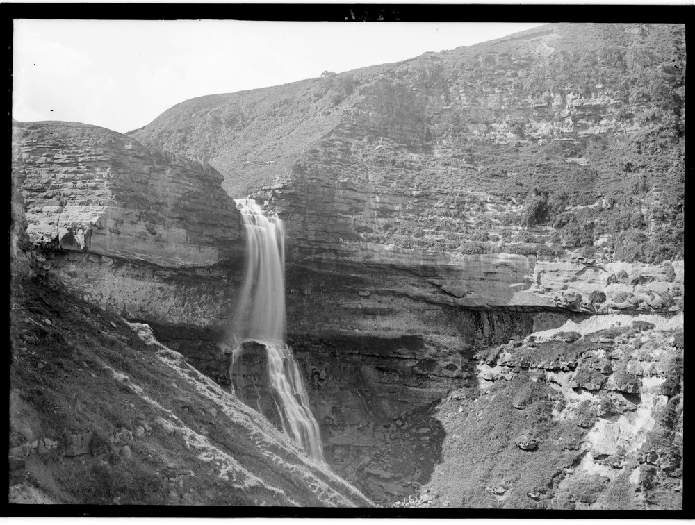
| Caption: | Bearreraig, 9.7 km. north-north-east of Portree, Skye (Inverness). Exposure of Lower Oolite sandstone giving rise to waterfall. |
| Description: | Bearreraig, 9.7 km. north-north-east of Portree, Skye (Inverness). Exposure of Lower Oolite sandstone giving rise to waterfall. A bed of near horizontal strong rock overlying weaker beds located downstream enable the latter to be relatively quickly worn down and the strong resistant bed begins to be undercut. Rapids would have formed first and with development, the face would become vertical and so form a waterfall as in the photograph. |
| Date taken: | Wed Jan 01 00:00:00 GMT 1913 |
| Photographer: | Lunn, R. |
| Copyright statement: | Crown |
| Acknowledgment: | This image was digitized with grant-in-aid from SCRAN the Scottish Cultural Resources Access Network |
| X longitude/easting: | 151500 |
| Y latitude/northing: | 853500 |
| Coordinate reference system, ESPG code: | 27700 (OSGB 1936 / British National Grid) |
| Orientation: | Landscape |
| Size: | 257.68 KB; 1000 x 756 pixels; 85 x 64 mm (print at 300 DPI); 265 x 200 mm (screen at 96 DPI); |
| Average Rating: | Not yet rated |
| Categories: | Unsorted Images, Geoscience subjects/ Stratigraphical, Geoscience subjects/ Landforms, river/ Waterfalls and pot-holes |
Reviews
There is currently no feedback

