| P number: | P002270 |
|---|---|
| Old photograph number: | C02229 |
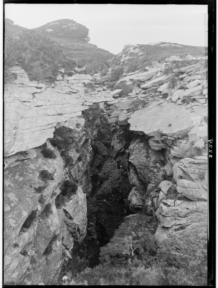
| Caption: | South of Dun Caan, east side of the Island of Raasay, Inverness-shire. Fissures in Jurassic Inferior Oolite marking initial stages in the production of landslips. |
| Description: | South of Dun Caan, east side of the Island of Raasay, Inverness-shire. Fissures in Jurassic Inferior Oolite marking initial stages in the production of landslips. This fissure is typical of those that occur near the margins of the eastern cliffs, from Beinn na' Leac to Screapadal. They are usually at right angles to the direction of the cliffs, they are deep and vertical and vary in width from one to ten feet. |
| Date taken: | Mon Jan 01 00:00:00 GMT 1917 |
| Photographer: | Lunn, R. |
| Copyright statement: | Crown |
| Acknowledgment: | This image was digitized with grant-in-aid from SCRAN the Scottish Cultural Resources Access Network |
| X longitude/easting: | 157500 |
| Y latitude/northing: | 839500 |
| Coordinate reference system, ESPG code: | 27700 (OSGB 1936 / British National Grid) |
| Orientation: | Portrait |
| Size: | 230.16 KB; 756 x 1000 pixels; 64 x 85 mm (print at 300 DPI); 200 x 265 mm (screen at 96 DPI); |
| Average Rating: | Not yet rated |
| Categories: | Unsorted Images, Geoscience subjects/ Landforms, weathering/ Landslips |
Reviews
There is currently no feedback

