| P number: | P000898 |
|---|---|
| Old photograph number: | D02551 |
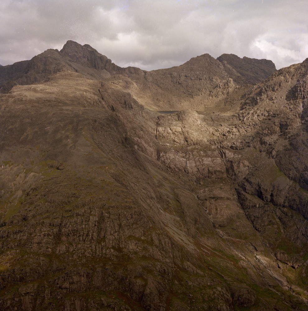
| Caption: | Oblique aerial view of Loch Coir a' Ghrunnda, Cuillins, Skye. |
| Description: | Moving up the slope there are the Outer Marginal Gabbros and Eucrites, then the Border Group moving into the Outer and Inner Layered Allivalite Series while right on the top of Sgurr Alasdair are intrusive Tholeiites. Layering can be seen below the rock lip and above the lochan. Sgurr Sgumain, Sgurr Alasdair and Sgurr nan Eag on the ridge behind. All are part of the Tertiary igneous Cuillin Complex. The loch is a classic corrie with a rock lip holding back the water. |
| Date taken: | Sat Jan 01 00:00:00 GMT 1977 |
| Photographer: | Christie, A. |
| Copyright statement: | NERC |
| Acknowledgment: | This image was digitized with grant-in-aid from SCRAN the Scottish Cultural Resources Access Network |
| X longitude/easting: | 144700 |
| Y latitude/northing: | 819300 |
| Coordinate reference system, ESPG code: | 27700 (OSGB 1936 / British National Grid) |
| Orientation: | Portrait |
| Size: | 296.18 KB; 990 x 1000 pixels; 84 x 85 mm (print at 300 DPI); 262 x 265 mm (screen at 96 DPI); |
| Average Rating: | Not yet rated |
| Categories: | Unsorted Images |
Reviews
There is currently no feedback

