| P number: | P000541 |
|---|---|
| Old photograph number: | C03549 |
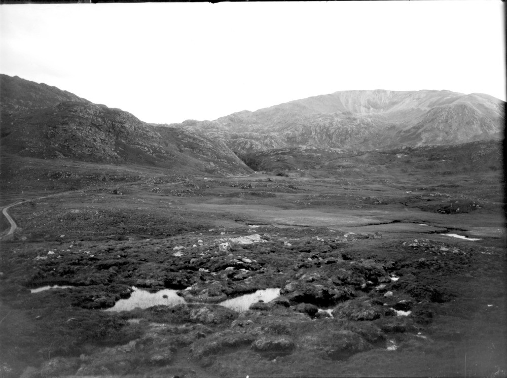
| Caption: | Looking south-east from a point above the bridge over Unapool Burn on the Kylesku Road. Sutherland. Typical north-west Highlands Lewisian-Torridonian-Cambrian topography. |
| Description: | Looking south-east from a point above the bridge over Unapool Burn on the Kylesku Road. Sutherland. Typical north-west Highlands Lewisian-Torridonian-Cambrian topography. The foreground is Lewisian gneiss overlain unconformably (low ground middle distance) by Torridon sandstone, Cambrian Quartzite, unconformable on latter, forms low hills to left and right of ravine in centre of picture. Hill on right (Glas Bheinn) is formed of Lewisian gneiss with capping of Cambrian Quartzite above the Glencoul Thrust. |
| Date taken: | Tue Jan 01 00:00:00 GMT 1935 |
| Photographer: | Unknown |
| Copyright statement: | Crown |
| Acknowledgment: | This image was digitized with grant-in-aid from SCRAN the Scottish Cultural Resources Access Network |
| X longitude/easting: | 223500 |
| Y latitude/northing: | 930500 |
| Coordinate reference system, ESPG code: | 27700 (OSGB 1936 / British National Grid) |
| Orientation: | Landscape |
| Size: | 163.34 KB; 1000 x 745 pixels; 85 x 63 mm (print at 300 DPI); 265 x 197 mm (screen at 96 DPI); |
| Average Rating: | Not yet rated |
| Categories: | Unsorted Images |
Reviews
There is currently no feedback

