| P number: | P572480 |
|---|---|
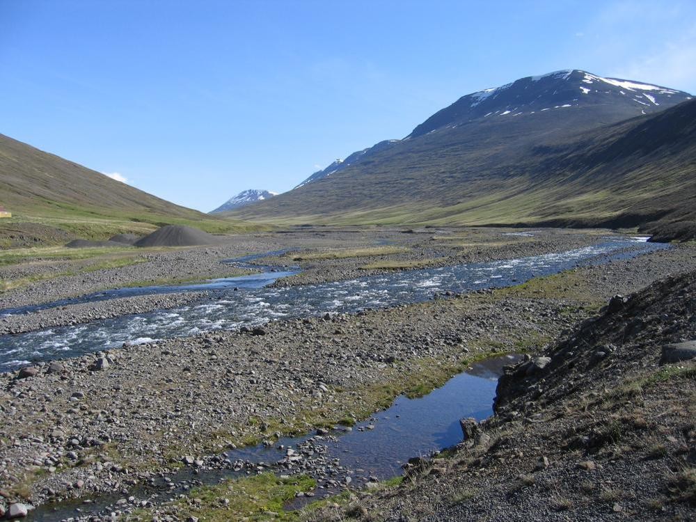
| Caption: | Iceland, Akureyri to Sandarkrokur area. |
| Description: | Nordura River where Route 1 crosses. Looking NE towards Vikingsfjall (1217 m). Typical braided stream from highland snowmelt (blue water). Area of Upper Tertiary basic lavas with hummocky morainic material. |
| Date taken: | Fri Jun 11 00:00:00 BST 2004 |
| Photographer: | Hopson, P.M. |
| Copyright statement: | NERC |
| Orientation: | Landscape |
| Size: | 158.43 KB; 1000 x 750 pixels; 85 x 64 mm (print at 300 DPI); 265 x 198 mm (screen at 96 DPI); |
| Average Rating: | Not yet rated |
| Categories: | Unsorted Images, Special collections/ Iceland geology |
Reviews
There is currently no feedback

