Advanced Search
Advanced Search
0
My Lightbox
Expand view
Log In
Register
Home
Advanced Search
Browse
Lightbox
Map-Based Search
Get Help
Browse by Popularity
Least Downloaded Items
Least Downloaded Items
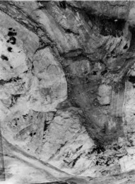
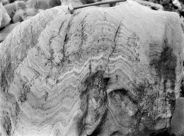
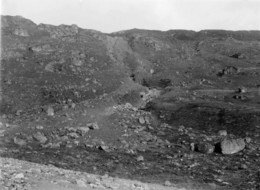
P216017
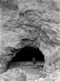
Caol-choire, 1 m. N. of Stob Ban, 6.4...
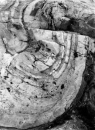
P216018
Caol-choire, 1 m. N. of Stob Ban, 6.4...
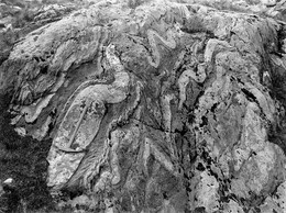
P216019
Caol-choire, 1 m. N. of Stob Ban, 6.4...
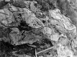
P216020
Caol-choire, 1 m. N. of Stob Ban, 6.4...
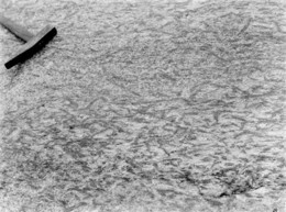
P216021
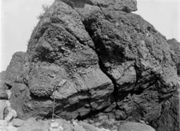
Boulder in Allt na Leirg, 3.2 km. WNW...
P216022
Allt na Lairige 3.2 km. WNW of Loch...
P216023
Allt na Lairige 3.2 km. WNW of Loch...
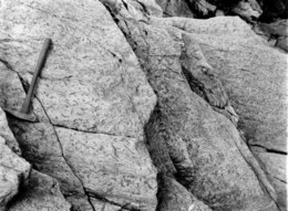
P216024
Glen Croe, 3.2 km. W. of Arrochar.
P216025
Glen Croe, 3.2 km. W. of Arrochar.
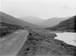
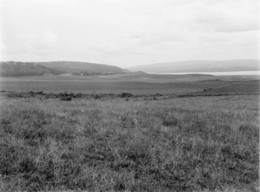
P216026
Looking E. from Lettoch Farm House,...
P216027
Looking E. from Lettoch Farm House,...
P216028
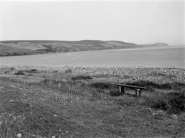
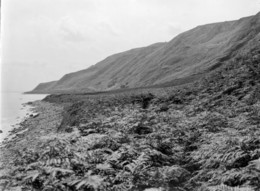
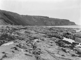
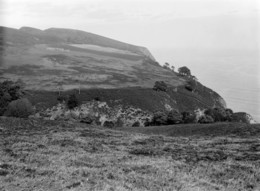
From beach at Charlestown. Looking N; N...
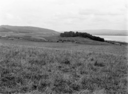
P216029
Munlochy Bay, Moray Firth 6.4 km. N. of...
P216030
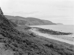
From Rosemarkie Shore. Looking N.
P216031
From Rosemarkie Shore. Looking N.
P216032
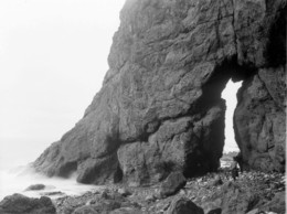
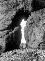
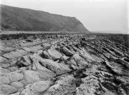
On shore, 1.6 km. N. of Rosemarkie.
P216033
On shore, 1.6 km. N. of Rosemarkie.
P216034
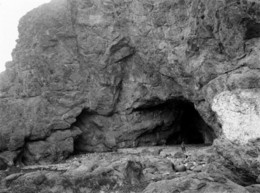
2.4 km. N. of Rosemarkie.
P216035
2.4 km. N. of Rosemarkie.
P216036
4.8 km. NNE of Fortrose.
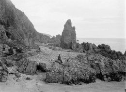
P216037
5.2 km. NNE of Fortrose.
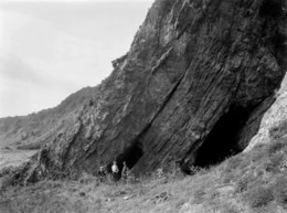
P216038
5.6 km. NNE of Fortrose.
P216039
5.6 km. NNE of Fortrose.
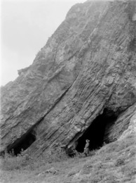
P216040
5.6 km. NNE of Fortrose.
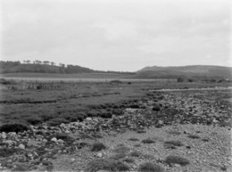
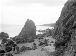
P216041
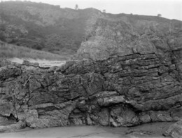
Ethie shore, 4.8 km. S. of Cromarty.
P216042
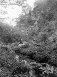
Ethie Burn 3.2 km. S. of Cromarty.
P216043
Ethie Burn 3.2 km. S. of Cromarty.
P216044
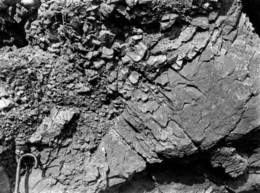
Ethie Burn, 3.2 km. S. of Cromarty....
P216045
2.4 km. S. of Cromarty.
P216046
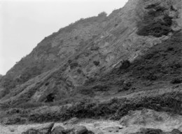
6.4 km. NE of Cromarty.
P216047
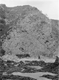
6.4 km. NE of Cromarty.
P216048
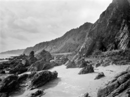
6.4 km. NE of Cromarty.
P216049
6.4 km. NE of Cromarty.
P216050
6.4 km. NE of Cromarty.
P216051
6.4 km. NE of Cromarty.
P216052
6.4 km. NE of Cromarty.
P216053
7.0 km. NE of Cromarty.
P216054
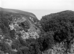
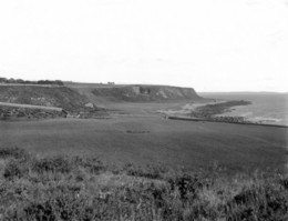
Port an Righ, 4.8 km. SSE of Hill of...
P216055
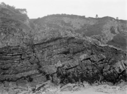
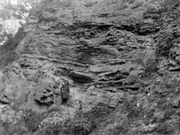
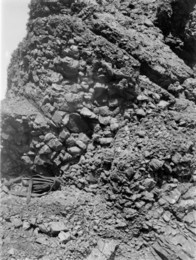
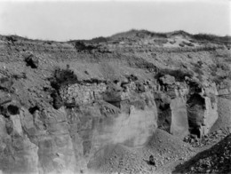
Section in the quarry at Balintore, 4.0...
P216056
Hilton of Cadboll, 4.0 km. E. of Hill...