| P number: | P000684 |
|---|---|
| Old photograph number: | D01831 |
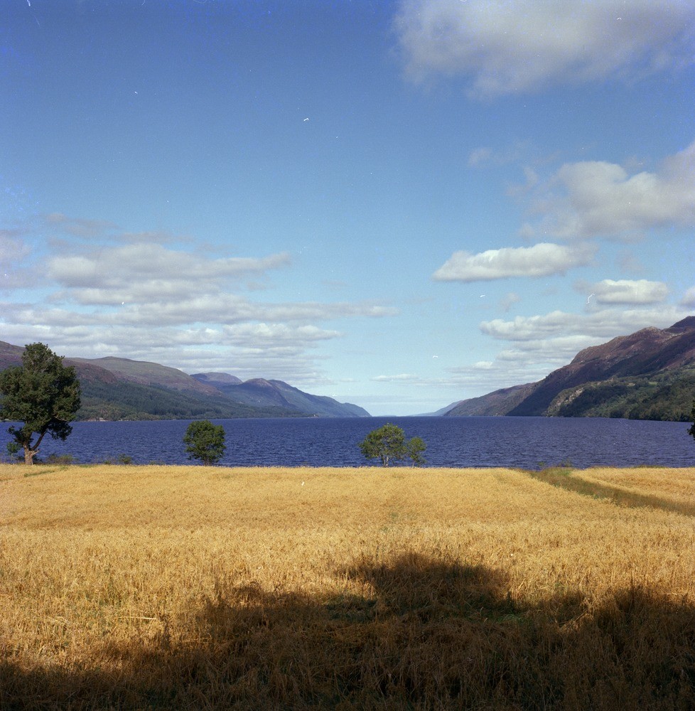
| Caption: | Looking north-east along Loch Ness from 860 m. south-south-east of Fort Augustus. Inverness-shire. The Great Glen Fault Zone runs straight down the loch. |
| Description: | Looking north-east along Loch Ness from 860 m. south-south-east of Fort Augustus. Inverness-shire. The Great Glen Fault Zone runs straight down the loch. The fault zone is not a single fault plane but a zone, up to 1.5 km. wide bounded by the Great Glen and Glen Buck Faults. The foreground is a river terrace of the River Tarff. The fault, a transcurrent structure formed during the later stages of the Caledonian Orogeny was reactivated during the Devonian and later periods. The net displacement is sinistral and may exceed 100 km. |
| Date taken: | Thu Jan 01 00:00:00 GMT 1976 |
| Photographer: | Christie, A. |
| Copyright statement: | NERC |
| Acknowledgment: | This image was digitized with grant-in-aid from SCRAN the Scottish Cultural Resources Access Network |
| X longitude/easting: | 238500 |
| Y latitude/northing: | 808500 |
| Coordinate reference system, ESPG code: | 27700 (OSGB 1936 / British National Grid) |
| Orientation: | Portrait |
| Size: | 261.57 KB; 978 x 1000 pixels; 83 x 85 mm (print at 300 DPI); 259 x 265 mm (screen at 96 DPI); |
| Average Rating: | Not yet rated |
| Categories: | Best of BGS Images/ Landscapes, Geoscience subjects/ Named locality |
Loading...
Loading...
Reviews
There is currently no feedback