| P number: | P214222 |
|---|---|
| Old photograph number: | B00307 |
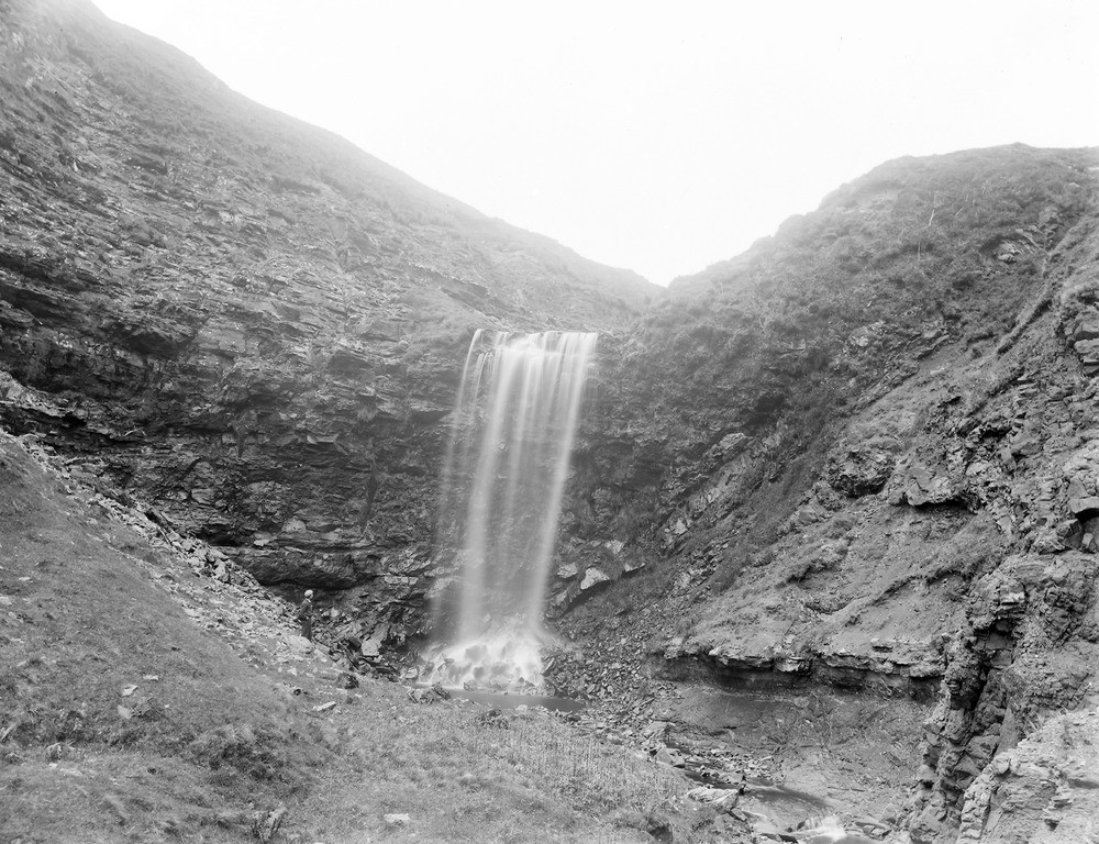
| Caption: | Levencorroch Burn, 3.219 km. NW of Kildonan Castle. |
| Description: | Levencorroch Burn, 3.219 km. NW of Kildonan Castle. Small dolerite dykes and sills intrusive in Triassic sandstone, retarding denudation and giving rise to waterfall. |
| Date taken: | Fri Jan 01 00:00:00 GMT 1897 |
| Photographer: | Lunn, R. |
| Copyright statement: | Crown |
| X longitude/easting: | 201100 |
| Y latitude/northing: | 622100 |
| Coordinate reference system, ESPG code: | 27700 (OSGB 1936 / British National Grid) |
| Orientation: | Landscape |
| Size: | 282.78 KB; 1000 x 768 pixels; 85 x 65 mm (print at 300 DPI); 265 x 203 mm (screen at 96 DPI); |
| Average Rating: | Not yet rated |
| Categories: | Unsorted Images, Geoscience subjects/ Landforms, river/ Waterfalls and pot-holes |
Loading...
Loading...
Reviews
There is currently no feedback