| P number: | P215085 |
|---|---|
| Old photograph number: | C00575 |
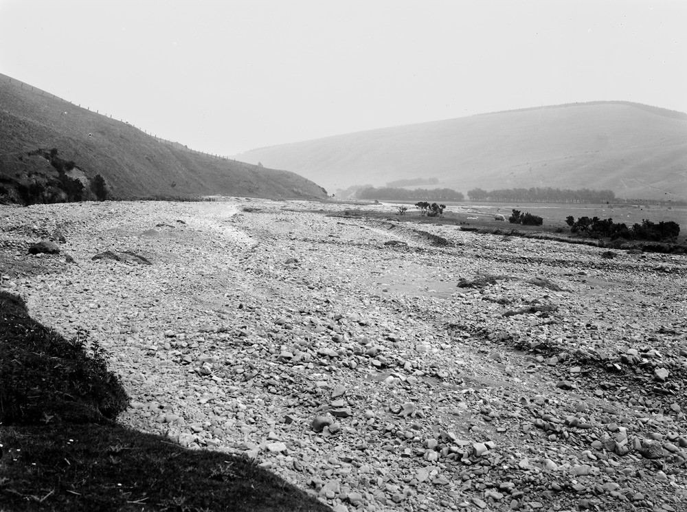
| Caption: | 2.0 km. W. of Oldhamstocks, 9.6 km. SSE of Dunbar. |
| Description: | 2.0 km. W. of Oldhamstocks, 9.6 km. SSE of Dunbar. Recent gravel spread of Oldhamstocks Burn, laid down in Aikengall dry valley. |
| Date taken: | Fri Jan 01 00:00:00 GMT 1904 |
| Photographer: | Lunn, R. |
| Copyright statement: | Crown |
| X longitude/easting: | 372500 |
| Y latitude/northing: | 670500 |
| Coordinate reference system, ESPG code: | 27700 (OSGB 1936 / British National Grid) |
| Orientation: | Landscape |
| Size: | 286.86 KB; 1000 x 745 pixels; 85 x 63 mm (print at 300 DPI); 265 x 197 mm (screen at 96 DPI); |
| Average Rating: | Not yet rated |
| Categories: | Unsorted Images, Geoscience subjects/ Landforms, river/ Flood-plains and alluvial flats |
Loading...
Loading...
Reviews
There is currently no feedback