| P number: | P201730 |
|---|---|
| Old photograph number: | A01779 |
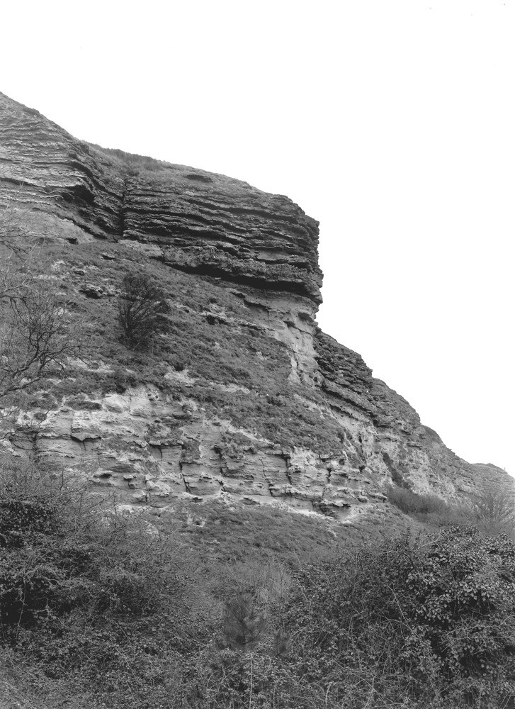
| Caption: | The Undercliff, about 1 m. SE of Niton. Looking NE. |
| Description: | The Undercliff, about 1 m. SE of Niton. Looking NE. Upper Greensand south-east of Niton. Chert Beds (with harder layers in relief) in upper part of cliff, overhanging the Freestone Beds just below them. Sandstones with concretions in lower part of cliff. Ref: 'A short account of the geology of the Isle of Wight', p.56. |
| Date taken: | Tue Mar 08 00:00:00 GMT 1921 |
| Photographer: | Rhodes, J. |
| Copyright statement: | Crown |
| X longitude/easting: | 453500 |
| Y latitude/northing: | 76500 |
| Coordinate reference system, ESPG code: | 27700 (OSGB 1936 / British National Grid) |
| Orientation: | Portrait |
| Size: | 243.93 KB; 727 x 1000 pixels; 62 x 85 mm (print at 300 DPI); 192 x 265 mm (screen at 96 DPI); |
| Average Rating: | Not yet rated |
| Categories: | Unsorted Images, Geoscience subjects/ Stratigraphical |
Loading...
Loading...
Reviews
There is currently no feedback