| P number: | P006961 |
|---|---|
| Old photograph number: | A10960 |
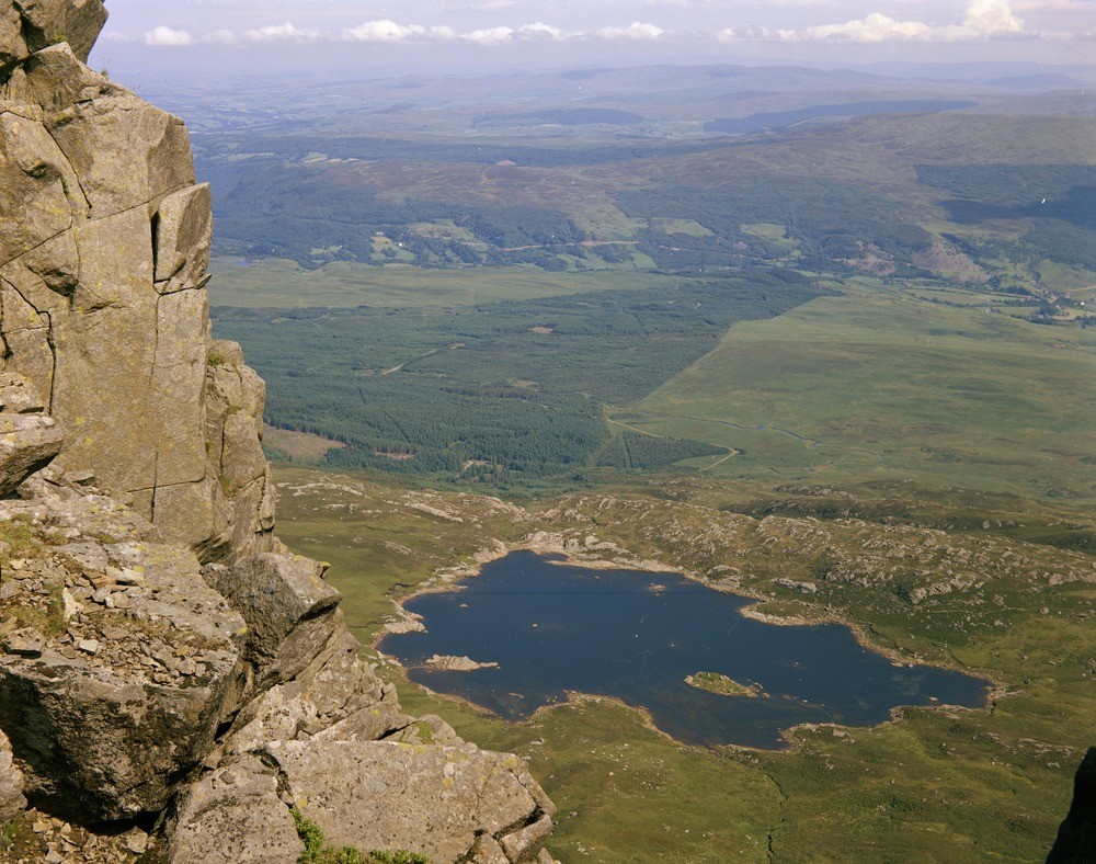
| Caption: | Near the summit of Moel Siabod. Looking SE. |
| Description: | Near the summit of Moel Siabod. Looking SE. Llyn y Foel, 1756ft. Showing dolerite in left-foreground and beyond the shallow lake. The Lledr Valley is in the middle distance. |
| Date taken: | Mon Jul 01 00:00:00 BST 1968 |
| Photographer: | Friend, C.A.F. |
| Copyright statement: | NERC |
| Acknowledgment: | This image was digitized with grant-in-aid from JIDI the JISC Image Digitization Initiative |
| X longitude/easting: | 270500 |
| Y latitude/northing: | 354500 |
| Coordinate reference system, ESPG code: | 27700 (OSGB 1936 / British National Grid) |
| Orientation: | Landscape |
| Size: | 274.15 KB; 1000 x 788 pixels; 85 x 67 mm (print at 300 DPI); 265 x 208 mm (screen at 96 DPI); |
| Average Rating: | Not yet rated |
| Categories: | Best of BGS Images/ Landscapes |
Loading...
Loading...
Reviews
There is currently no feedback