| P number: | P222386 |
|---|---|
| Old photograph number: | L01570 |
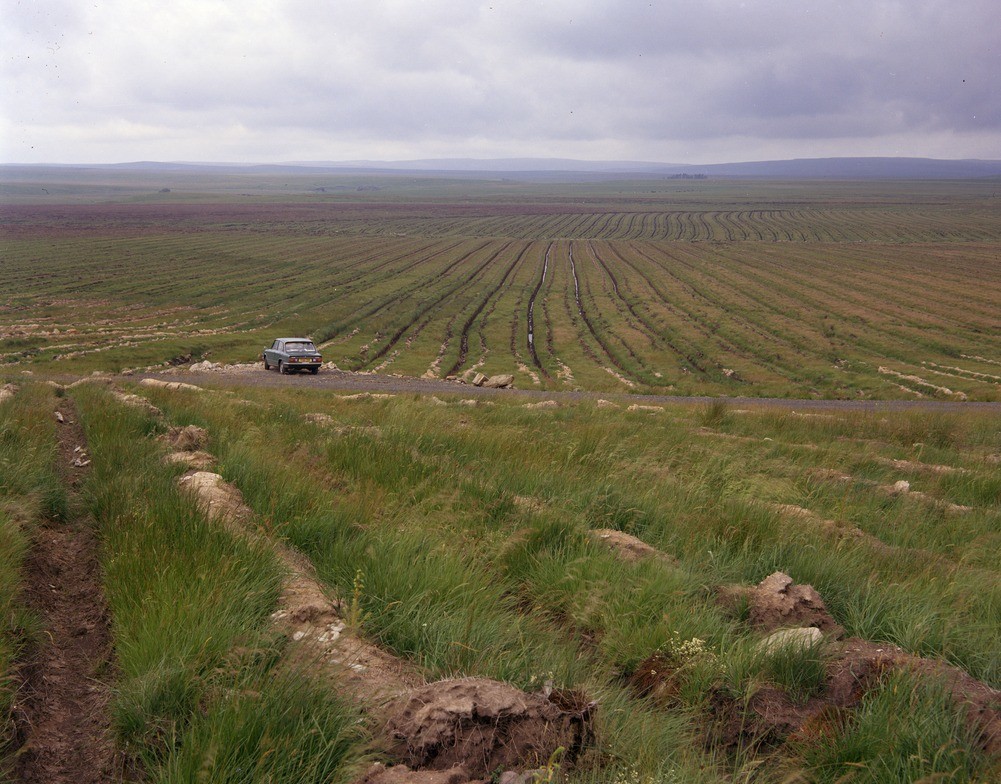
| Caption: | Scotchcoultard Waste 4 m. NW of Greenlee Lough. Looking N. |
| Description: | Scotchcoultard Waste 4 m. NW of Greenlee Lough. Looking N. Recently drained and afforested area showing exposure of sandy boulder clay (pale) and peat (dark). The peat occupies vast areas of flat ground still badly drained. Dark green lines show original agricultural drainage ditches. Tree is 12 in. (30 cm.). |
| Date taken: | Tue Apr 01 00:00:00 BST 1975 |
| Photographer: | Thornton, K.E. |
| Copyright statement: | NERC |
| X longitude/easting: | 370000 |
| Y latitude/northing: | 571700 |
| Coordinate reference system, ESPG code: | 27700 (OSGB 1936 / British National Grid) |
| Orientation: | Landscape |
| Size: | 246.22 KB; 1001 x 784 pixels; 85 x 66 mm (print at 300 DPI); 265 x 207 mm (screen at 96 DPI); |
| Average Rating: | Not yet rated |
| Categories: | Unsorted Images, Geoscience subjects/ Economic geology/ Peat |
Loading...
Loading...
Reviews
There is currently no feedback