| P number: | P222803 |
|---|---|
| Old photograph number: | L02203 |
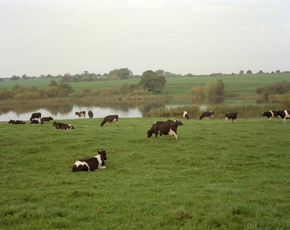
| Caption: | SE side of lake, 300 m. NW of Knight's Grange. |
| Description: | SE side of lake, 300 m. NW of Knight's Grange. View looking north-west across the lake shows a steep bank on the far side which was the original surface of an almost flat area of pasture land. This lake, known locally as 'The Ocean' is the largest of a group of subsidence hollows caused by past brine abstraction in the River Weaver some 2 km. to the north-east. The rather broad area of subsidence is characteristic of sites underlain by boulder clay. Where there are thick sand deposits the effect often has the form of a steep-sided funnel-shaped crater (see also Marton Hole at SJ619674 Photo No. A9406). This photograph is a retake of A9406. |
| Date taken: | Sun Oct 01 00:00:00 BST 1978 |
| Photographer: | Thornton, K.E. |
| Copyright statement: | NERC |
| X longitude/easting: | 363600 |
| Y latitude/northing: | 367200 |
| Coordinate reference system, ESPG code: | 27700 (OSGB 1936 / British National Grid) |
| Orientation: | Landscape |
| Size: | 206.82 KB; 1000 x 794 pixels; 85 x 67 mm (print at 300 DPI); 265 x 210 mm (screen at 96 DPI); |
| Average Rating: | Not yet rated |
| Categories: | Unsorted Images, Geoscience subjects/ Named locality, Geoscience subjects/ Geohazards/ Subsidence |
Loading...
Loading...
Reviews
There is currently no feedback