| P number: | P007401 |
|---|---|
| Old photograph number: | L02621 |
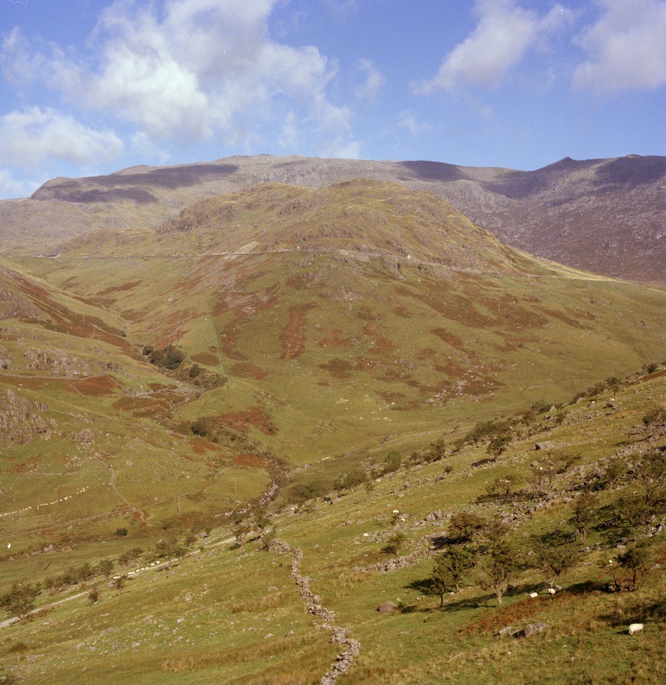
| Caption: | Viewpoint, roadside, W. of Pen-y-Gwryd. |
| Description: | Viewpoint, roadside, W. of Pen-y-Gwryd. In distance, broad flank of Glyder Fawr. Road from Pen-y-Gwryd to Pen y Pass, cuttings in massive ash-flow tuff of Lower Rhyolitic Tuff Formation. |
| Date taken: | Mon Sep 01 00:00:00 BST 1980 |
| Photographer: | Thornton, K.E. |
| Copyright statement: | NERC |
| Acknowledgment: | This image was digitized with grant-in-aid from JIDI the JISC Image Digitization Initiative |
| X longitude/easting: | 265800 |
| Y latitude/northing: | 354200 |
| Coordinate reference system, ESPG code: | 27700 (OSGB 1936 / British National Grid) |
| Orientation: | Portrait |
| Size: | 312.04 KB; 971 x 1000 pixels; 82 x 85 mm (print at 300 DPI); 257 x 265 mm (screen at 96 DPI); |
| Average Rating: | Not yet rated |
| Categories: | Best of BGS Images/ Landscapes |
Loading...
Loading...
Reviews
There is currently no feedback