| P number: | P024966 |
|---|---|
| Old photograph number: | A05989 |
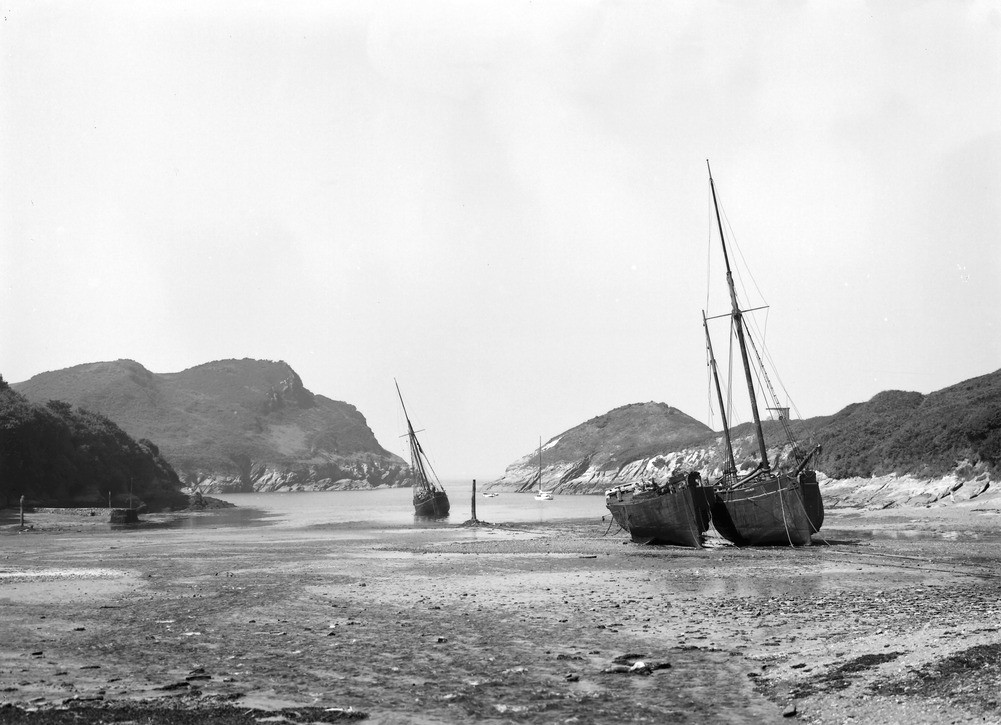
| Caption: | Watermouth, about 2 m. E. of Ilfracombe. Looking NW. |
| Description: | Watermouth, about 2 m. E. of Ilfracombe. Looking NW. Drowned river mouth at low tide, Watermouth. The channel follows the strike of the fault. The north-east or right-hand side of the valley separates the stream from the sea. The waves continuously attack the cliffs and already have isolated Sexton's Burrow and Burrow Nose islands. |
| Date taken: | Mon Aug 01 00:00:00 BST 1932 |
| Photographer: | Rhodes, J. |
| Copyright statement: | Crown |
| X longitude/easting: | 255500 |
| Y latitude/northing: | 148500 |
| Coordinate reference system, ESPG code: | 27700 (OSGB 1936 / British National Grid) |
| Orientation: | Landscape |
| Size: | 184.40 KB; 1001 x 725 pixels; 85 x 61 mm (print at 300 DPI); 265 x 192 mm (screen at 96 DPI); |
| Average Rating: | Not yet rated |
| Categories: | Unsorted Images, Geoscience subjects/ Landforms, river/ Drowned valleys |
Loading...
Loading...
Reviews
There is currently no feedback