| P number: | P208715 |
|---|---|
| Old photograph number: | A08793 |
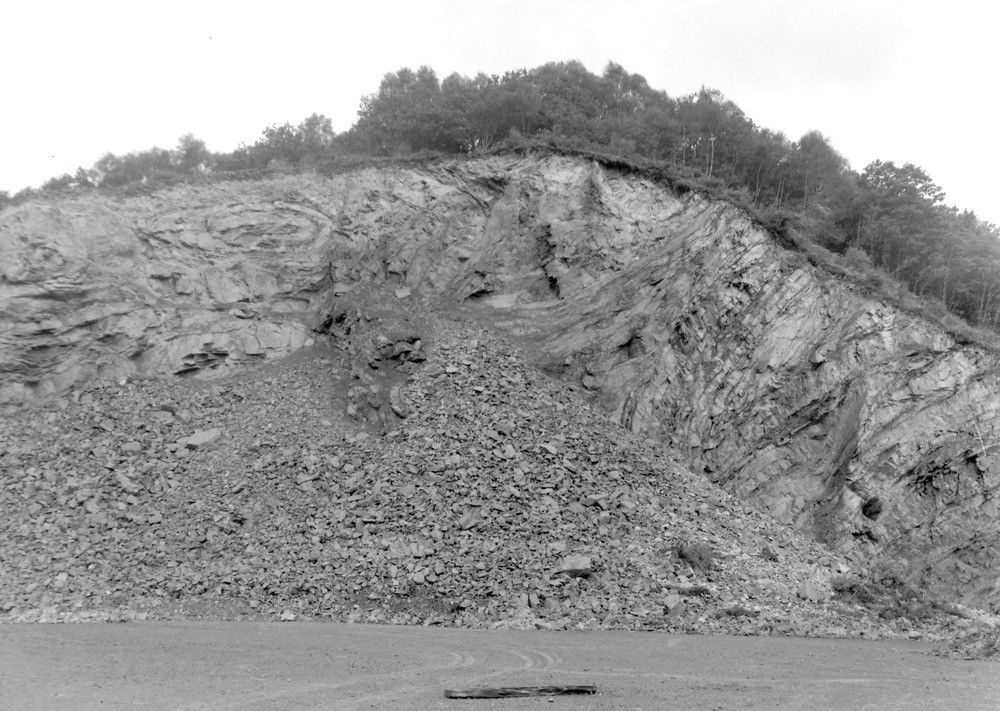
| Caption: | Roadside quarry beside the A 396 (Dunster-Tiverton road) 1.1 m. SSW of Exbridge. Looking NE. |
| Description: | Roadside quarry beside the A 396 (Dunster-Tiverton road) 1.1 m. SSW of Exbridge. Looking NE. North Exmoor floods, 1952. Intense folding in Culm Measures. |
| Date taken: | Wed Oct 01 00:00:00 BST 1952 |
| Photographer: | Rhodes, J. |
| Copyright statement: | Crown |
| X longitude/easting: | 292500 |
| Y latitude/northing: | 122500 |
| Coordinate reference system, ESPG code: | 27700 (OSGB 1936 / British National Grid) |
| Orientation: | Landscape |
| Size: | 246.41 KB; 1000 x 711 pixels; 85 x 60 mm (print at 300 DPI); 265 x 188 mm (screen at 96 DPI); |
| Average Rating: | Not yet rated |
| Categories: | Unsorted Images, Geoscience subjects/ Landforms, river/ Floods |
Loading...
Loading...
Reviews
There is currently no feedback