| P number: | P208701 |
|---|---|
| Old photograph number: | A08779 |
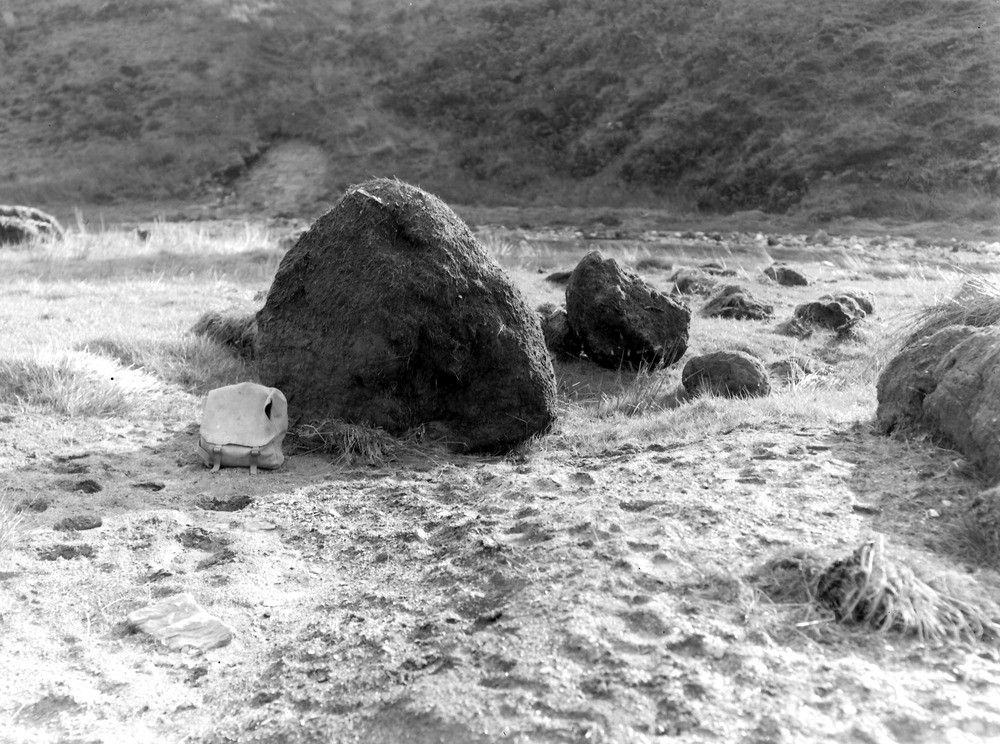
| Caption: | Just downstream of stream junction which is 600 yd. SW of Duresdown Farm, (NW of Simonsbath). Approx SE - SSE. |
| Description: | Just downstream of stream junction which is 600 yd. SW of Duresdown Farm, (NW of Simonsbath). Approx SE - SSE. North Exmoor floods, 1952. Large peat balls formed by stream abrasion. |
| Date taken: | Sun Oct 05 00:00:00 BST 1952 |
| Photographer: | Rhodes, J. |
| Copyright statement: | Crown |
| X longitude/easting: | 275500 |
| Y latitude/northing: | 139500 |
| Coordinate reference system, ESPG code: | 27700 (OSGB 1936 / British National Grid) |
| Orientation: | Landscape |
| Size: | 262.66 KB; 1000 x 744 pixels; 85 x 63 mm (print at 300 DPI); 265 x 197 mm (screen at 96 DPI); |
| Average Rating: | Not yet rated |
| Categories: | Unsorted Images, Geoscience subjects/ Landforms, river/ Floods |
Loading...
Loading...
Reviews
There is currently no feedback