| P number: | P208696 |
|---|---|
| Old photograph number: | A08774 |
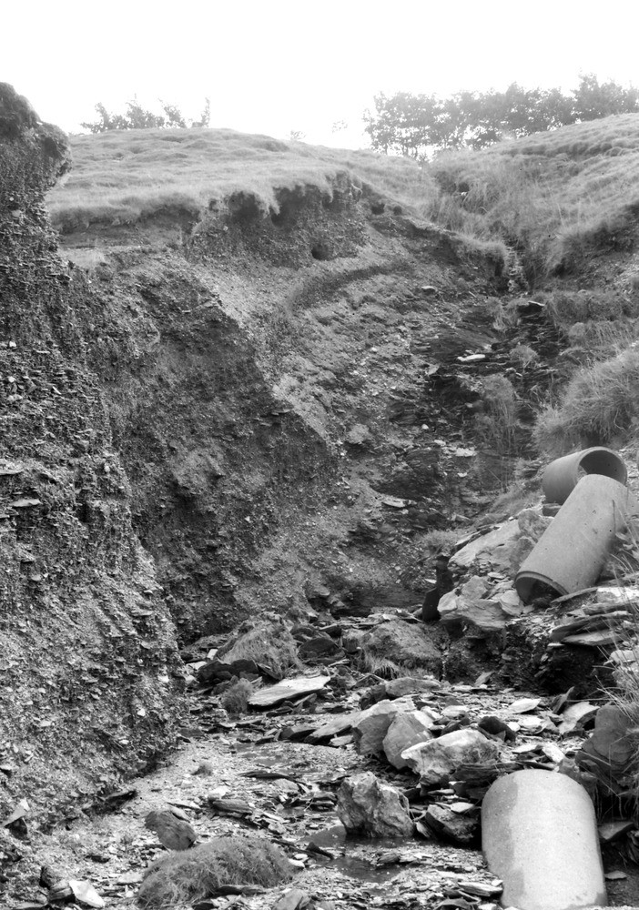
| Caption: | 675 yd. WSW of Duresdown Farm, (NW of Simonsbath) same locality as No. A8372. Looking SW. |
| Description: | 675 yd. WSW of Duresdown Farm, (NW of Simonsbath) same locality as No. A8372. Looking SW. North Exmoor floods, 1952. Trenching on site of slight depression in well-bedded shaly head resting on Ilfracombe Shale (shows black in photograph). |
| Date taken: | Sun Oct 05 00:00:00 BST 1952 |
| Photographer: | Rhodes, J. |
| Copyright statement: | Crown |
| X longitude/easting: | 275500 |
| Y latitude/northing: | 140500 |
| Coordinate reference system, ESPG code: | 27700 (OSGB 1936 / British National Grid) |
| Orientation: | Portrait |
| Size: | 294.39 KB; 702 x 1000 pixels; 59 x 85 mm (print at 300 DPI); 186 x 265 mm (screen at 96 DPI); |
| Average Rating: | Not yet rated |
| Categories: | Unsorted Images, Geoscience subjects/ Landforms, river/ Floods |
Loading...
Loading...
Reviews
There is currently no feedback