| P number: | P208694 |
|---|---|
| Old photograph number: | A08772 |
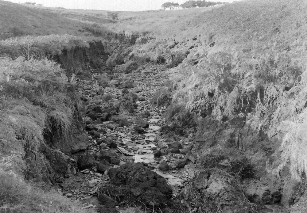
| Caption: | 1300 yd. WNW of Duresdown Farm, (NW of Simonsbath). Looking NW. |
| Description: | 1300 yd. WNW of Duresdown Farm, (NW of Simonsbath). Looking NW. North Exmoor floods, 1952. Intense erosion in a tributary of the Barle exposing 5? ft. of peat resting on a 2 ft. + head. See also A8771. |
| Date taken: | Sun Oct 05 00:00:00 BST 1952 |
| Photographer: | Rhodes, J. |
| Copyright statement: | Crown |
| X longitude/easting: | 274500 |
| Y latitude/northing: | 140500 |
| Coordinate reference system, ESPG code: | 27700 (OSGB 1936 / British National Grid) |
| Orientation: | Landscape |
| Size: | 285.69 KB; 1000 x 695 pixels; 85 x 59 mm (print at 300 DPI); 265 x 184 mm (screen at 96 DPI); |
| Average Rating: | Not yet rated |
| Categories: | Unsorted Images, Geoscience subjects/ Landforms, river/ Floods |
Loading...
Loading...
Reviews
There is currently no feedback