| P number: | P208689 |
|---|---|
| Old photograph number: | A08767 |
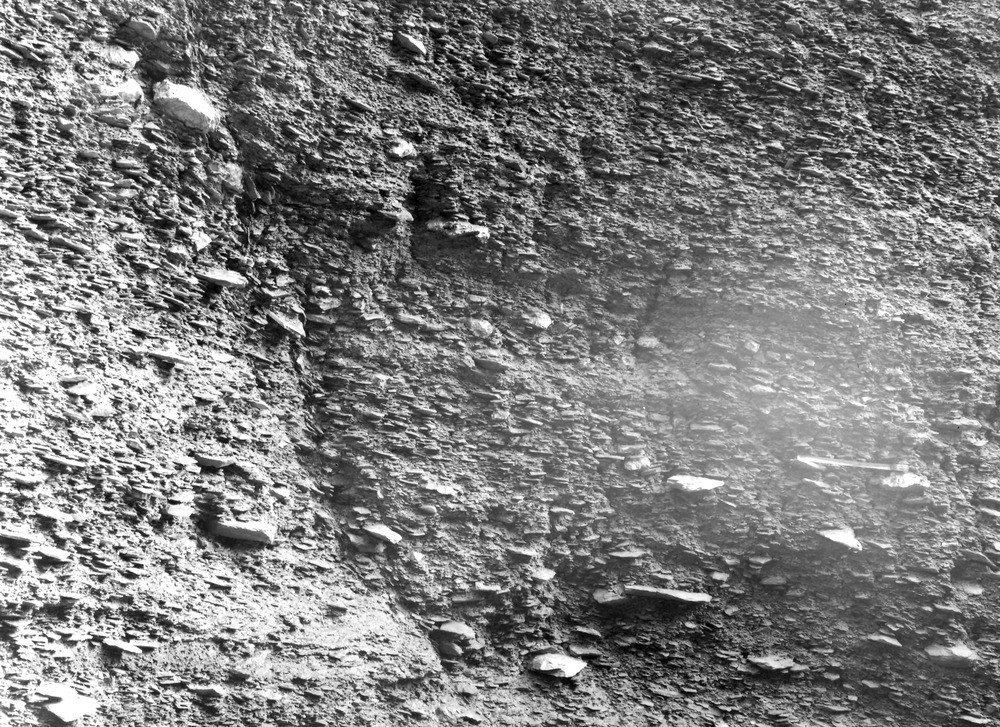
| Caption: | 25 yd. E. of spot height 1032 ft. on Challacombe-Simonsbath road, about 1/2 m. from Challacombe. Looking ESE. |
| Description: | 25 yd. E. of spot height 1032 ft. on Challacombe-Simonsbath road, about 1/2 m. from Challacombe. Looking ESE. North Exmoor floods, 1952. A picture 175 yards south of the locality named (same cliff as A8765, and A8768) exposing well-stratified fine-grained shaly head: caused by a temporary stream formed by stormwater collected on the Challacombe-Simonsbath road. See also A8759, A8766, A8768 and A8770. |
| Date taken: | Sun Oct 05 00:00:00 BST 1952 |
| Photographer: | Rhodes, J. |
| Copyright statement: | Crown |
| X longitude/easting: | 270500 |
| Y latitude/northing: | 140500 |
| Coordinate reference system, ESPG code: | 27700 (OSGB 1936 / British National Grid) |
| Orientation: | Landscape |
| Size: | 405.56 KB; 1000 x 727 pixels; 85 x 62 mm (print at 300 DPI); 265 x 192 mm (screen at 96 DPI); |
| Average Rating: | Not yet rated |
| Categories: | Unsorted Images, Geoscience subjects/ Landforms, river/ Floods |
Loading...
Loading...
Reviews
There is currently no feedback