| P number: | P208652 |
|---|---|
| Old photograph number: | A08730 |
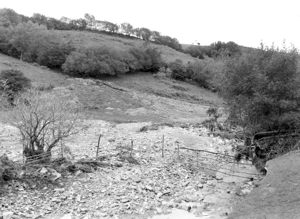
| Caption: | Hoaroak Water, 1,175 yd. SW of Farley. Looking NNE (downstream). |
| Description: | Hoaroak Water, 1,175 yd. SW of Farley. Looking NNE (downstream). North Exmoor floods, 1952. Widespread gravel and boulder deposits on the alluvium. A side view of gravel fan at the bottom of a ravine (middle); for front view see A8732. |
| Date taken: | Tue Oct 07 00:00:00 BST 1952 |
| Photographer: | Rhodes, J. |
| Copyright statement: | Crown |
| X longitude/easting: | 273500 |
| Y latitude/northing: | 145500 |
| Coordinate reference system, ESPG code: | 27700 (OSGB 1936 / British National Grid) |
| Orientation: | Landscape |
| Size: | 274.96 KB; 1000 x 729 pixels; 85 x 62 mm (print at 300 DPI); 265 x 193 mm (screen at 96 DPI); |
| Average Rating: | Not yet rated |
| Categories: | Unsorted Images, Geoscience subjects/ Landforms, river/ Floods |
Loading...
Loading...
Reviews
There is currently no feedback