| P number: | P208647 |
|---|---|
| Old photograph number: | A08725 |
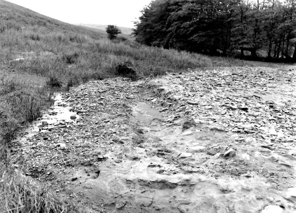
| Caption: | Hoaroak Water, 1,775 yd. SSW of Farley. Looking SW - SSW (upstream). |
| Description: | Hoaroak Water, 1,775 yd. SSW of Farley. Looking SW - SSW (upstream). North Exmoor floods, 1952. Extensive gravel deposits, showing 'foreset' slopes on edge of the main sheet. |
| Date taken: | Tue Oct 07 00:00:00 BST 1952 |
| Photographer: | Rhodes, J. |
| Copyright statement: | Crown |
| X longitude/easting: | 274500 |
| Y latitude/northing: | 144500 |
| Coordinate reference system, ESPG code: | 27700 (OSGB 1936 / British National Grid) |
| Orientation: | Landscape |
| Size: | 325.19 KB; 1001 x 721 pixels; 85 x 61 mm (print at 300 DPI); 265 x 191 mm (screen at 96 DPI); |
| Average Rating: | Not yet rated |
| Categories: | Unsorted Images, Geoscience subjects/ Landforms, river/ Floods |
Loading...
Loading...
Reviews
There is currently no feedback