| P number: | P208643 |
|---|---|
| Old photograph number: | A08721 |
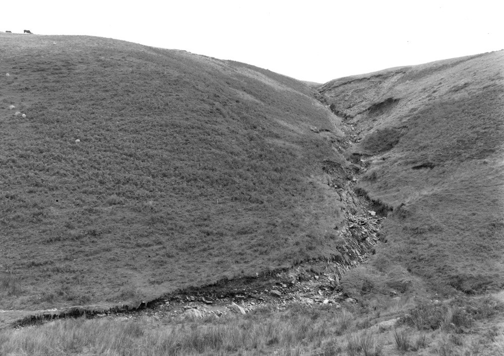
| Caption: | 750 yd. S. of Hoar Oak Tree, (county boundary - Hoaroak Water junction). Looking E. |
| Description: | 750 yd. S. of Hoar Oak Tree, (county boundary - Hoaroak Water junction). Looking E. North Exmoor floods, 1952. Ravining in, and landslipping of, head resting on Ilfracombe Shales in a small side stream. |
| Date taken: | Tue Oct 07 00:00:00 BST 1952 |
| Photographer: | Rhodes, J. |
| Copyright statement: | Crown |
| X longitude/easting: | 274500 |
| Y latitude/northing: | 142500 |
| Coordinate reference system, ESPG code: | 27700 (OSGB 1936 / British National Grid) |
| Orientation: | Landscape |
| Size: | 235.88 KB; 1000 x 707 pixels; 85 x 60 mm (print at 300 DPI); 265 x 187 mm (screen at 96 DPI); |
| Average Rating: | Not yet rated |
| Categories: | Unsorted Images, Geoscience subjects/ Landforms, river/ Floods |
Loading...
Loading...
Reviews
There is currently no feedback