| P number: | P208601 |
|---|---|
| Old photograph number: | A08679 |
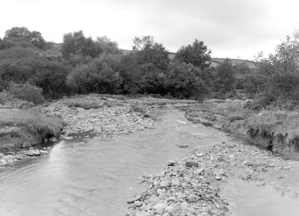
| Caption: | West Lyn River, 150 yd. NNW of North Furze Hill Ford and 170 yd. NW of Furzehill Bridge. Looking NW (downstream). |
| Description: | West Lyn River, 150 yd. NNW of North Furze Hill Ford and 170 yd. NW of Furzehill Bridge. Looking NW (downstream). North Exmoor floods, 1952. The original channel of river (to the left) is now filled with boulders. The river is flowing in a newly-cut channel in the alluvium. |
| Date taken: | Sun Sep 28 00:00:00 BST 1952 |
| Photographer: | Rhodes, J. |
| Copyright statement: | Crown |
| X longitude/easting: | 272500 |
| Y latitude/northing: | 145500 |
| Coordinate reference system, ESPG code: | 27700 (OSGB 1936 / British National Grid) |
| Orientation: | Landscape |
| Size: | 199.72 KB; 1000 x 722 pixels; 85 x 61 mm (print at 300 DPI); 265 x 191 mm (screen at 96 DPI); |
| Average Rating: | Not yet rated |
| Categories: | Unsorted Images, Geoscience subjects/ Landforms, river/ Floods |
Loading...
Loading...
Reviews
There is currently no feedback