| P number: | P208599 |
|---|---|
| Old photograph number: | A08677 |
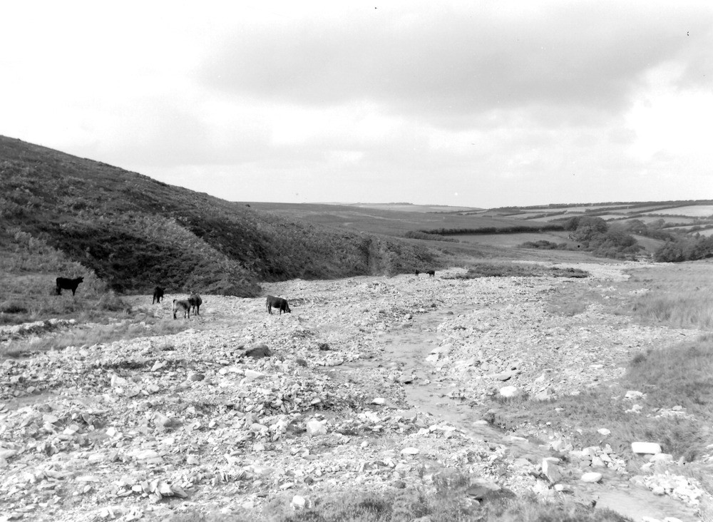
| Caption: | West Lyn River, 375 yd. NNW of point at which the county boundary crosses the river. Looking NNW-N. |
| Description: | West Lyn River, 375 yd. NNW of point at which the county boundary crosses the river. Looking NNW-N. North Exmoor floods, 1952. Boulder and gravel dump at slackening of gradient and opening out of the valley sides. The original course is entirely obliterated and the river picks its way as several streams across the flood debris. Slightly different view in A8676. |
| Date taken: | Fri Sep 26 00:00:00 BST 1952 |
| Photographer: | Rhodes, J. |
| Copyright statement: | Crown |
| X longitude/easting: | 272500 |
| Y latitude/northing: | 143500 |
| Coordinate reference system, ESPG code: | 27700 (OSGB 1936 / British National Grid) |
| Orientation: | Landscape |
| Size: | 226.03 KB; 1000 x 732 pixels; 85 x 62 mm (print at 300 DPI); 265 x 194 mm (screen at 96 DPI); |
| Average Rating: | Not yet rated |
| Categories: | Unsorted Images, Geoscience subjects/ Landforms, river/ Floods |
Loading...
Loading...
Reviews
There is currently no feedback