| P number: | P208591 |
|---|---|
| Old photograph number: | A08669 |
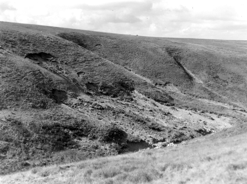
| Caption: | West Lyn River valley, 650 yd. S-SSE of the point at which the county boundary crosses the West Lyn River, (same viewpoint as No. A8670). Looking NW. |
| Description: | West Lyn River valley, 650 yd. S-SSE of the point at which the county boundary crosses the West Lyn River, (same viewpoint as No. A8670). Looking NW. North Exmoor floods, 1952. View showing landslips in head and (thin) peat, most marked in the gullies. |
| Date taken: | Fri Sep 26 00:00:00 BST 1952 |
| Photographer: | Rhodes, J. |
| Copyright statement: | Crown |
| X longitude/easting: | 272500 |
| Y latitude/northing: | 143500 |
| Coordinate reference system, ESPG code: | 27700 (OSGB 1936 / British National Grid) |
| Orientation: | Landscape |
| Size: | 245.29 KB; 1000 x 746 pixels; 85 x 63 mm (print at 300 DPI); 265 x 197 mm (screen at 96 DPI); |
| Average Rating: | Not yet rated |
| Categories: | Unsorted Images, Geoscience subjects/ Landforms, river/ Floods |
Loading...
Loading...
Reviews
There is currently no feedback