| P number: | P208583 |
|---|---|
| Old photograph number: | A08661 |
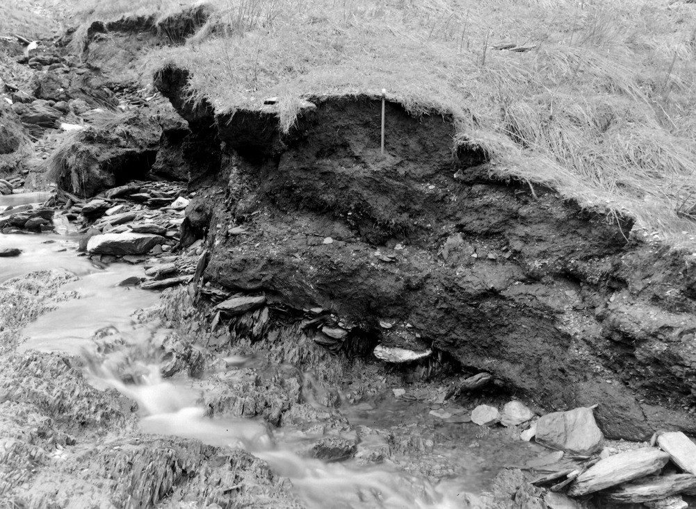
| Caption: | 625 yd. SW-SSW of Saddle Gate (county boundary) Thornworthy tributary of West Lyn. Looking WSW (downstream). |
| Description: | 625 yd. SW-SSW of Saddle Gate (county boundary) Thornworthy tributary of West Lyn. Looking WSW (downstream). The more westerly of the two sources of the Thornworthy tributary. The section shows 3? - 3? ft. peat with a few inches of slaty head below resting on solid shale. |
| Date taken: | Mon Sep 29 00:00:00 BST 1952 |
| Photographer: | Rhodes, J. |
| Copyright statement: | Crown |
| X longitude/easting: | 271500 |
| Y latitude/northing: | 143500 |
| Coordinate reference system, ESPG code: | 27700 (OSGB 1936 / British National Grid) |
| Orientation: | Landscape |
| Size: | 315.94 KB; 1001 x 733 pixels; 85 x 62 mm (print at 300 DPI); 265 x 194 mm (screen at 96 DPI); |
| Average Rating: | Not yet rated |
| Categories: | Unsorted Images, Geoscience subjects/ Landforms, river/ Floods |
Loading...
Loading...
Reviews
There is currently no feedback