| P number: | P208446 |
|---|---|
| Old photograph number: | A08524 |
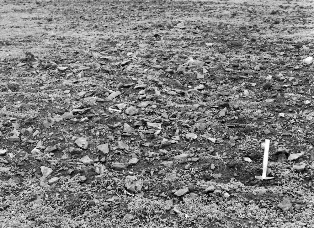
| Caption: | 750 yd. N. of Borough Hill Farm, N. end of Borough Hill, Daventry. |
| Description: | 750 yd. N. of Borough Hill Farm, N. end of Borough Hill, Daventry. An arable field on the Marlstone, showing a reddish-brown sandy loam containing Marlstone rock debris of varying size and angularity. |
| Date taken: | Sun Oct 01 00:00:00 BST 1950 |
| Photographer: | Rhodes, J. |
| Copyright statement: | Crown |
| X longitude/easting: | 458900 |
| Y latitude/northing: | 263000 |
| Coordinate reference system, ESPG code: | 27700 (OSGB 1936 / British National Grid) |
| Orientation: | Landscape |
| Size: | 398.28 KB; 1001 x 727 pixels; 85 x 62 mm (print at 300 DPI); 265 x 192 mm (screen at 96 DPI); |
| Average Rating: | Not yet rated |
| Categories: | Unsorted Images, Geoscience subjects/ Landforms, weathering/ Soil and hill creep |
Loading...
Loading...
Reviews
There is currently no feedback