| P number: | P208295 |
|---|---|
| Old photograph number: | A08373 |
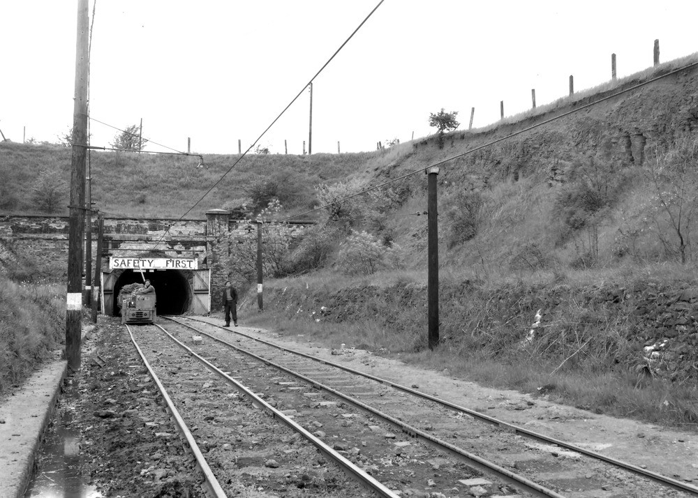
| Caption: | Irthlingborough Mine, 3/4 m. SW of church at Irthlingborough. Looking NNW. |
| Description: | Irthlingborough Mine, 3/4 m. SW of church at Irthlingborough. Looking NNW. Adit to Irthlingborough Mine. Superficially disturbed Norhampton Sand overlying grass-grown Upper Lias Clay visible in cutting. Adit is driven in Lias below the ore bed. |
| Date taken: | Sun May 01 00:00:00 BST 1949 |
| Photographer: | Rhodes, J. |
| Copyright statement: | Crown |
| X longitude/easting: | 493665 |
| Y latitude/northing: | 269353 |
| Coordinate reference system, ESPG code: | 27700 (OSGB 1936 / British National Grid) |
| Orientation: | Landscape |
| Size: | 243.39 KB; 1000 x 714 pixels; 85 x 60 mm (print at 300 DPI); 265 x 189 mm (screen at 96 DPI); |
| Average Rating: | Not yet rated |
| Categories: | Unsorted Images |
Loading...
Loading...
Reviews
There is currently no feedback