| P number: | P208161 |
|---|---|
| Old photograph number: | A08239 |
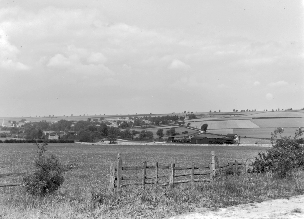
| Caption: | 1/4 m. E. of Wakerley. Looking WNW. |
| Description: | 1/4 m. E. of Wakerley. Looking WNW. Welland Valley looking towards Barrowden. Valley floor is in Upper Lias Clay. High ground in distance capped by Lincolnshire Limestone. |
| Date taken: | Tue May 29 00:00:00 BST 1945 |
| Photographer: | Rhodes, J. |
| Copyright statement: | Crown |
| X longitude/easting: | 495814 |
| Y latitude/northing: | 299835 |
| Coordinate reference system, ESPG code: | 27700 (OSGB 1936 / British National Grid) |
| Orientation: | Landscape |
| Size: | 184.91 KB; 1001 x 722 pixels; 85 x 61 mm (print at 300 DPI); 265 x 191 mm (screen at 96 DPI); |
| Average Rating: | Not yet rated |
| Categories: | Unsorted Images, Geoscience subjects/ General views/ Clay, marl and shale country |
Loading...
Loading...
Reviews
There is currently no feedback