| P number: | P207870 |
|---|---|
| Old photograph number: | A07948 |
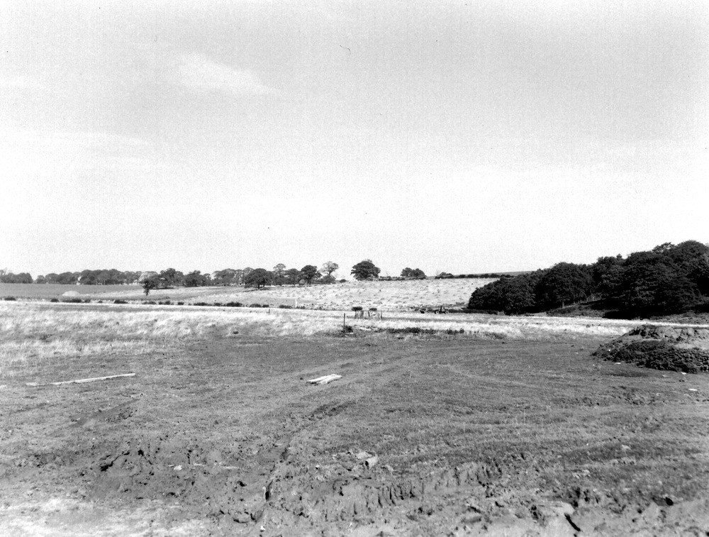
| Caption: | Viewpoint, from road W. of Clay Hill, looking towards Lambert's Land. Looking N. |
| Description: | Viewpoint, from road W. of Clay Hill, looking towards Lambert's Land. Looking N. The flat foreground is about 40 ft. above the general alluvial level in the neighbourhood. It consists of a stiff clayey-brickearth downwash derived from the London Clay hills on the right and in the background. This flat area of Head is detached and unconnected with neighbouring Drifts. |
| Date taken: | Sun Sep 01 00:00:00 BST 1946 |
| Photographer: | Rhodes, J. |
| Copyright statement: | Crown |
| X longitude/easting: | 508500 |
| Y latitude/northing: | 161500 |
| Coordinate reference system, ESPG code: | 27700 (OSGB 1936 / British National Grid) |
| Orientation: | Landscape |
| Size: | 246.89 KB; 1000 x 757 pixels; 85 x 64 mm (print at 300 DPI); 265 x 200 mm (screen at 96 DPI); |
| Average Rating: | Not yet rated |
| Categories: | Unsorted Images, Geoscience subjects/ General views/ Clay, marl and shale country |
Loading...
Loading...
Reviews
There is currently no feedback