| P number: | P207763 |
|---|---|
| Old photograph number: | A07841 |
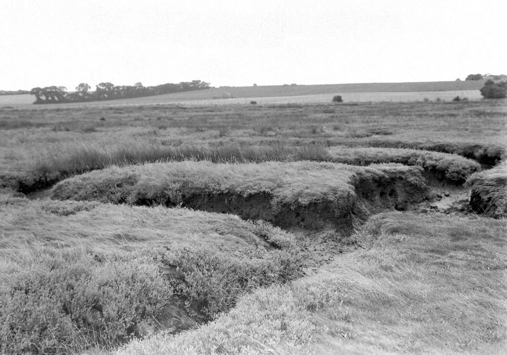
| Caption: | W. of pier, Allhallows beach, S. side of Thames Estuary. Looking S. |
| Description: | W. of pier, Allhallows beach, S. side of Thames Estuary. Looking S. Alluvium, Thames Estuary. View of 'saltings' looking inland, showing gulleys eroded in the alluvium by the drainage of flood waters during periods of high tides. |
| Date taken: | Fri Jul 01 00:00:00 BST 1938 |
| Photographer: | Rhodes, J. |
| Copyright statement: | Crown |
| X longitude/easting: | 583500 |
| Y latitude/northing: | 178500 |
| Coordinate reference system, ESPG code: | 27700 (OSGB 1936 / British National Grid) |
| Orientation: | Landscape |
| Size: | 244.63 KB; 1000 x 701 pixels; 85 x 59 mm (print at 300 DPI); 265 x 185 mm (screen at 96 DPI); |
| Average Rating: | Not yet rated |
| Categories: | Unsorted Images, Geoscience subjects/ Landforms, river/ Flood-plains and alluvial flats, Geoscience subjects/ Economic geology/ Cement and lime, limestone quarries and chalk pits |
Loading...
Loading...
Reviews
There is currently no feedback