| P number: | P207749 |
|---|---|
| Old photograph number: | A07827 |
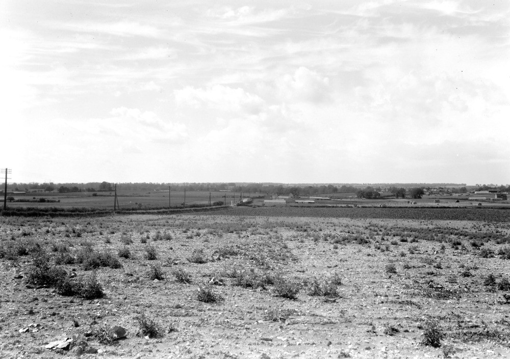
| Caption: | Viewpoint, 1 1/4 m. NW of Wrestlingworth Church and N. side of main road. Looking W. |
| Description: | Viewpoint, 1 1/4 m. NW of Wrestlingworth Church and N. side of main road. Looking W. The Boulder Clay plateau forms the foreground. The buildings in the middle are Crossroad Farm and stand on Lower Greensand. The Gault crops out on the slope bewteen the Boulder Clay and the Lower Greensand. In the distance is Potton, on Lower Greensand. |
| Date taken: | Mon Aug 01 00:00:00 BST 1938 |
| Photographer: | Rhodes, J. |
| Copyright statement: | Crown |
| X longitude/easting: | 525500 |
| Y latitude/northing: | 248500 |
| Coordinate reference system, ESPG code: | 27700 (OSGB 1936 / British National Grid) |
| Orientation: | Landscape |
| Size: | 212.37 KB; 1000 x 705 pixels; 85 x 60 mm (print at 300 DPI); 265 x 187 mm (screen at 96 DPI); |
| Average Rating: | Not yet rated |
| Categories: | Unsorted Images, Geoscience subjects/ General views/ Clay, marl and shale country |
Loading...
Loading...
Reviews
There is currently no feedback