| P number: | P207540 |
|---|---|
| Old photograph number: | A07615 |
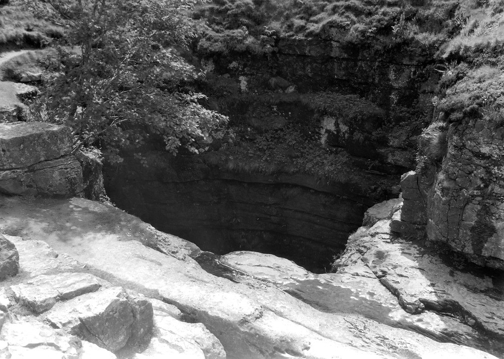
| Caption: | Gaping Gill Hole, 1 1/4 m. SSE of Ingleborough summit. Looking SSE. |
| Description: | Gaping Gill Hole, 1 1/4 m. SSE of Ingleborough summit. Looking SSE. Gaping Ghyll. Pot-hole in Carboniferous Limestone into which the waters of Fell Beck disappear to re-issue at Beck Head, Clapdale. Depth of pit is 365 ft. |
| Date taken: | Fri Jul 01 00:00:00 BST 1938 |
| Photographer: | Rhodes, J. |
| Copyright statement: | Crown |
| X longitude/easting: | 375500 |
| Y latitude/northing: | 472500 |
| Coordinate reference system, ESPG code: | 27700 (OSGB 1936 / British National Grid) |
| Orientation: | Landscape |
| Size: | 272.53 KB; 1000 x 712 pixels; 85 x 60 mm (print at 300 DPI); 265 x 188 mm (screen at 96 DPI); |
| Average Rating: | Not yet rated |
| Categories: | Unsorted Images, Geoscience subjects/ Landforms, river/ Waterfalls and pot-holes, Geoscience subjects/ Named locality, Geoscience subjects/ General views/ Limestone country |
Loading...
Loading...
Reviews
There is currently no feedback