| P number: | P206716 |
|---|---|
| Old photograph number: | A06787 |
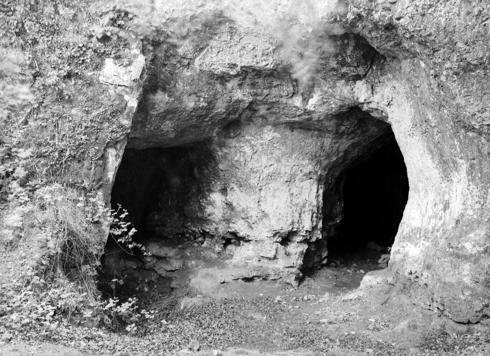
| Caption: | Crest Doward, 100 yd. NE of King Arthur's Cave, and 1 1/4 m. S. 5 degrees W. of crossroads at Whitchurch. Looking E. |
| Description: | Crest Doward, 100 yd. NE of King Arthur's Cave, and 1 1/4 m. S. 5 degrees W. of crossroads at Whitchurch. Looking E. Limestone caves. Formed by solution by underground drainage at the base of the Crease Limestone. |
| Date taken: | Fri May 01 00:00:00 BST 1936 |
| Photographer: | Rhodes, J. |
| Copyright statement: | Crown |
| X longitude/easting: | 354644 |
| Y latitude/northing: | 215471 |
| Coordinate reference system, ESPG code: | 27700 (OSGB 1936 / British National Grid) |
| Orientation: | Landscape |
| Size: | 330.46 KB; 1000 x 727 pixels; 85 x 62 mm (print at 300 DPI); 265 x 192 mm (screen at 96 DPI); |
| Average Rating: | Not yet rated |
| Categories: | Unsorted Images, Geoscience subjects/ Landforms, marine/ Caves, blowholes, inlets, Geoscience subjects/ Landforms, weathering/ Solution effects |
Loading...
Loading...
Reviews
There is currently no feedback