| P number: | P206384 |
|---|---|
| Old photograph number: | A06455 |
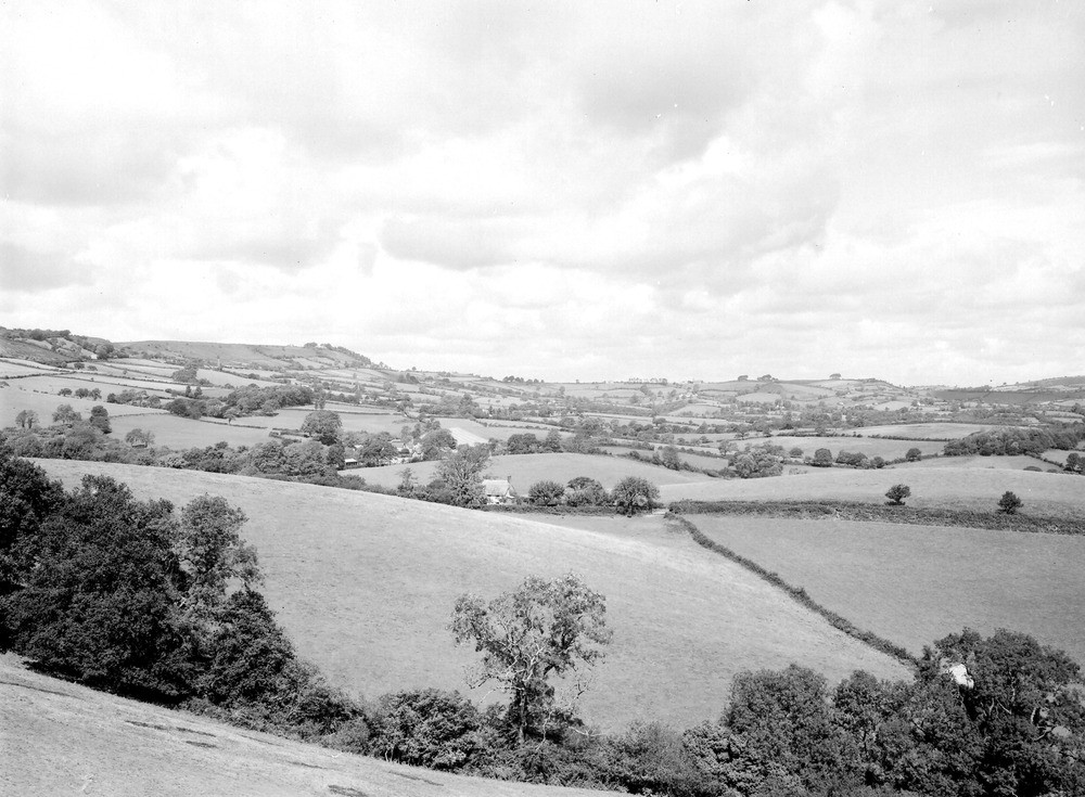
| Caption: | Viewpoint, E. side of Conegar Hill, Wootton Fitzpaine. Looking N. |
| Description: | Viewpoint, E. side of Conegar Hill, Wootton Fitzpaine. Looking N. Lias and Greensand topography, Marshwood Vale. Part of the Lias Vale of Marshwood with undulating topography resulting from stream action. The highest points on the skyline are the Greensand-capped hills of Lambert's Castle (left) and Payne's Down (right). |
| Date taken: | Wed Aug 01 00:00:00 BST 1934 |
| Photographer: | Rhodes, J. |
| Copyright statement: | Crown |
| X longitude/easting: | 338500 |
| Y latitude/northing: | 95500 |
| Coordinate reference system, ESPG code: | 27700 (OSGB 1936 / British National Grid) |
| Orientation: | Landscape |
| Size: | 218.08 KB; 1000 x 735 pixels; 85 x 62 mm (print at 300 DPI); 265 x 194 mm (screen at 96 DPI); |
| Average Rating: | Not yet rated |
| Categories: | Unsorted Images, Geoscience subjects/ General views/ Clay, marl and shale country |
Loading...
Loading...
Reviews
There is currently no feedback