| P number: | P007054 |
|---|---|
| Old photograph number: | A14467 |
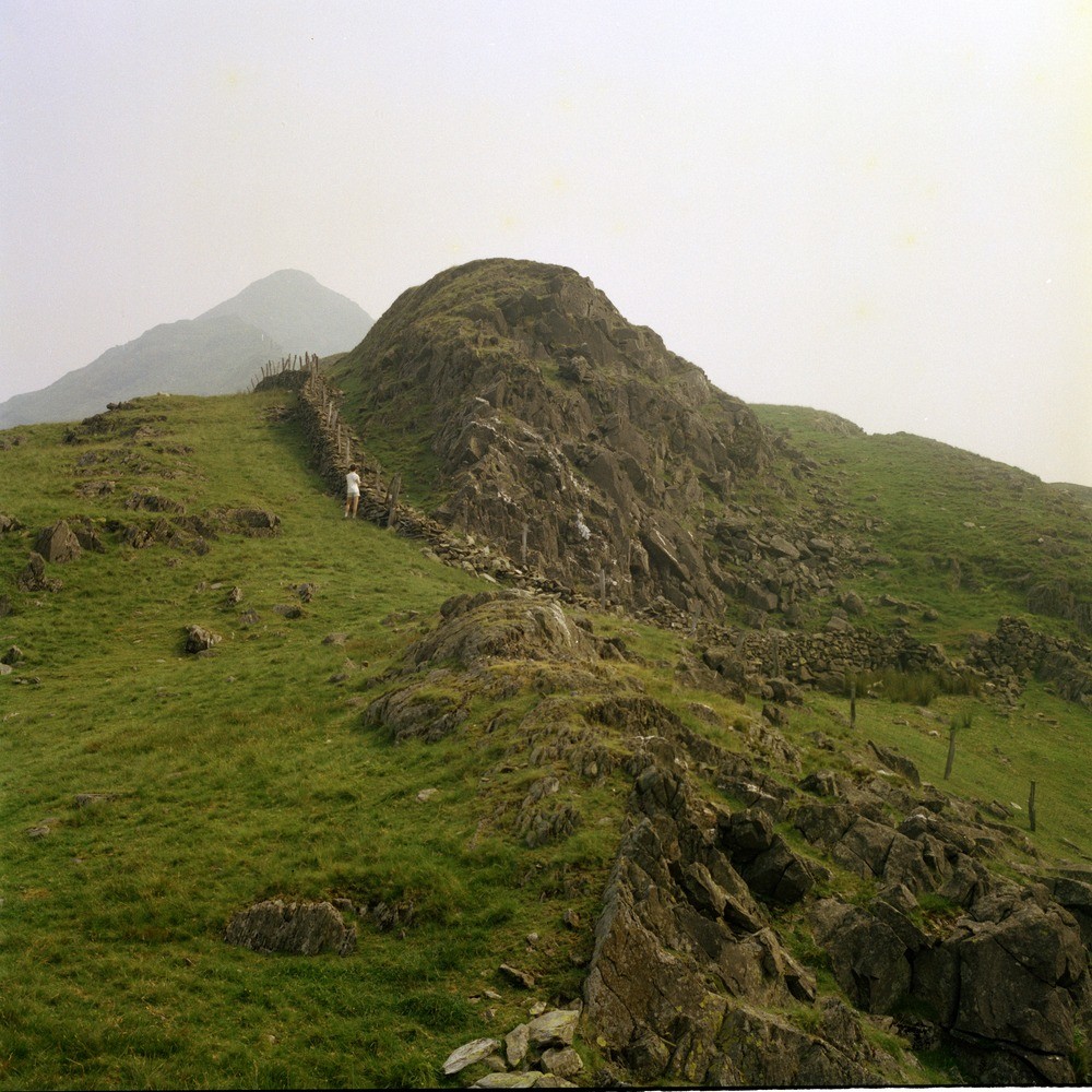
| Caption: | W. of Cwm Croesor. |
| Description: | W. of Cwm Croesor. Acid (granophyre) sill forms main feature with cleaved mudstones on either side mostly hidden by grass. Cnicht summit in distance. |
| Date taken: | Fri Jul 01 00:00:00 BST 1983 |
| Photographer: | Thornton, K.E. |
| Copyright statement: | NERC |
| X longitude/easting: | 263750 |
| Y latitude/northing: | 345730 |
| Coordinate reference system, ESPG code: | 27700 (OSGB 1936 / British National Grid) |
| Orientation: | Square |
| Size: | 295.69 KB; 1000 x 1000 pixels; 85 x 85 mm (print at 300 DPI); 265 x 265 mm (screen at 96 DPI); |
| Average Rating: | Not yet rated |
| Categories: | Unsorted Images |
Loading...
Loading...
Reviews
There is currently no feedback