| P number: | P1017167 |
|---|---|
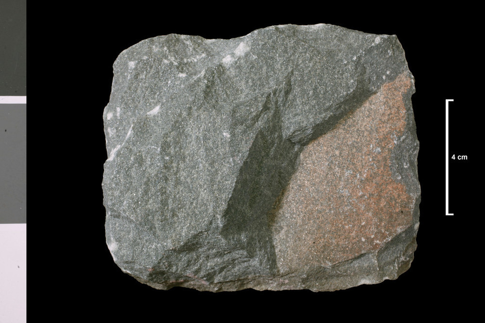
| Caption: | 400 yds SE of S end of Djuba Water and 350 yds NE of N end of Mousavord Loch. . |
| Description: | Collection No: SSC 16799. SampleNo. J91. Collector: J McCall |
| Copyright statement: | UKRI |
| X longitude/easting: | 422690 |
| Y latitude/northing: | 1155820 |
| Coordinate reference system, ESPG code: | 27700 (OSGB 1936 / British National Grid) |
| Orientation: | Landscape |
| Size: | 170.84 KB; 999 x 666 pixels; 85 x 56 mm (print at 300 DPI); 264 x 176 mm (screen at 96 DPI); |
| Average Rating: | Not yet rated |
| Categories: | Geoscience subjects/ Rocks/ Scotland/ County/ Shetland, Geoscience subjects/ Rocks/ Scotland/ Geological one-inch sheet/ Sheet 127 Sandness |
| Collection ID number: | Collection No: SSC 16799. |
Loading...
Loading...
Reviews
There is currently no feedback