| P number: | P1016564 |
|---|---|
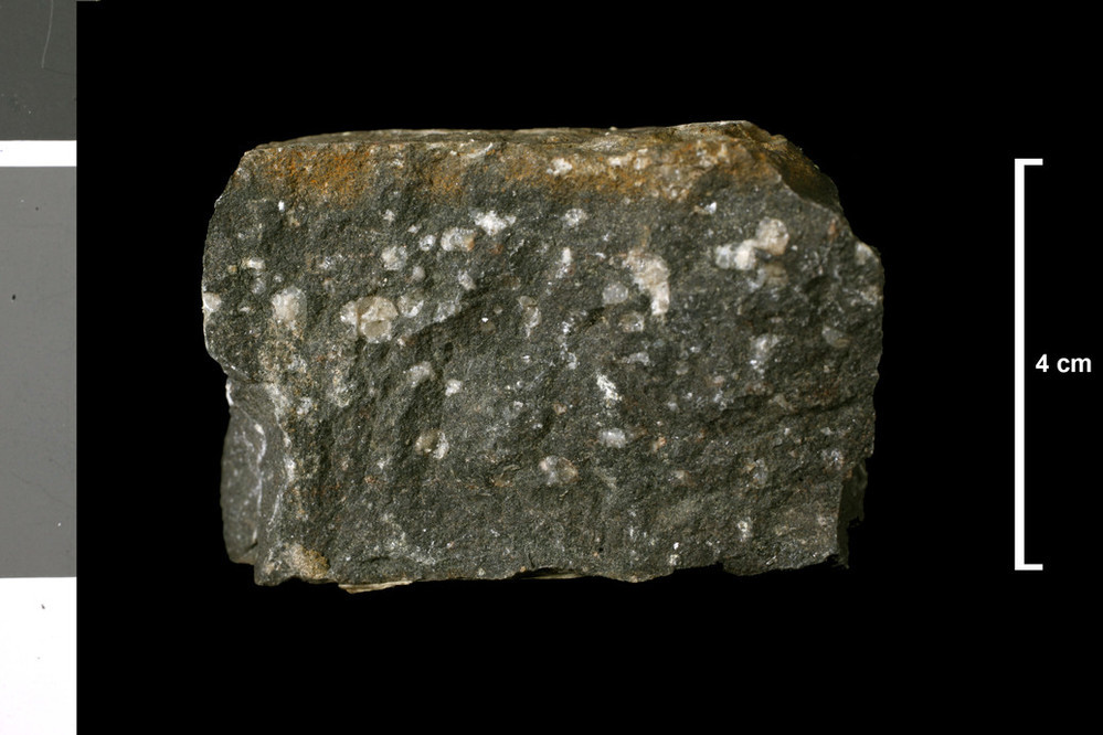
| Caption: | [Camptonite on 1' map]. Dyke. Lead mine, 0.5 mile N of Old Manse, Souith Ronaldsay. |
| Description: | Collection No: SSC 16523. SampleNo. U3840. |
| Copyright statement: | UKRI |
| X longitude/easting: | 347880 |
| Y latitude/northing: | 992320 |
| Coordinate reference system, ESPG code: | 27700 (OSGB 1936 / British National Grid) |
| Orientation: | Landscape |
| Size: | 131.47 KB; 999 x 666 pixels; 85 x 56 mm (print at 300 DPI); 264 x 176 mm (screen at 96 DPI); |
| Average Rating: | Not yet rated |
| Categories: | Geoscience subjects/ Rocks/ Scotland/ County/ Orkney, Geoscience subjects/ Rocks/ Scotland/ Geological one-inch sheet/ Sheet 117 Hoy |
| Collection ID number: | Collection No: SSC 16523. |
Loading...
Loading...
Reviews
There is currently no feedback