| P number: | P1016551 |
|---|---|
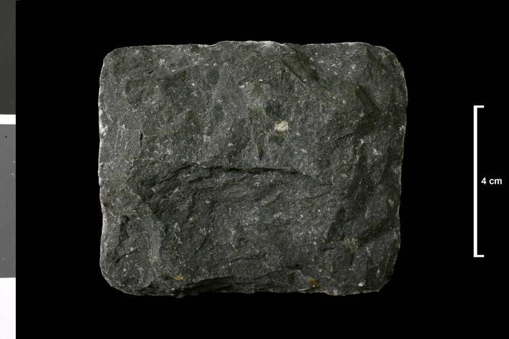
| Caption: | [Monchiquite on 1 ' map]. Dyke. NE shore, 830 yds N 30 deg W of trig pt 57ft; Isle of Risa. |
| Description: | Collection No: SSC 16502. SampleNo. S569. Collector: W E Strachan |
| Copyright statement: | UKRI |
| X longitude/easting: | 330930 |
| Y latitude/northing: | 998150 |
| Coordinate reference system, ESPG code: | 27700 (OSGB 1936 / British National Grid) |
| Orientation: | Landscape |
| Size: | 140.09 KB; 999 x 666 pixels; 85 x 56 mm (print at 300 DPI); 264 x 176 mm (screen at 96 DPI); |
| Average Rating: | Not yet rated |
| Categories: | Geoscience subjects/ Rocks/ Scotland/ County/ Orkney, Geoscience subjects/ Rocks/ Scotland/ Geological one-inch sheet/ Sheet 117 Hoy |
| Collection ID number: | Collection No: SSC 16502. |
Loading...
Loading...
Reviews
There is currently no feedback