| P number: | P1015681 |
|---|---|
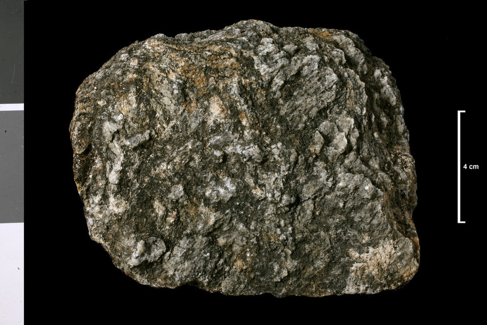
| Caption: | Kinbrace Burn, 3.69 miles SSE of Kinbrace Station and 0.125 mile N of cairn on Learable Hill. . |
| Description: | Collection No: SSC 15617. SampleNo. V992. Collector: A F Macconochie |
| Copyright statement: | UKRI |
| X longitude/easting: | 289100 |
| Y latitude/northing: | 924500 |
| Coordinate reference system, ESPG code: | 27700 (OSGB 1936 / British National Grid) |
| Orientation: | Landscape |
| Size: | 217.02 KB; 999 x 666 pixels; 85 x 56 mm (print at 300 DPI); 264 x 176 mm (screen at 96 DPI); |
| Average Rating: | Not yet rated |
| Categories: | Geoscience subjects/ Rocks/ Scotland/ County/ Sutherlandshire, Geoscience subjects/ Rocks/ Scotland/ Geological one-inch sheet/ Sheet 109 Achentoul |
| Collection ID number: | Collection No: SSC 15617. |
Loading...
Loading...
Reviews
There is currently no feedback