| P number: | P1015442 |
|---|---|
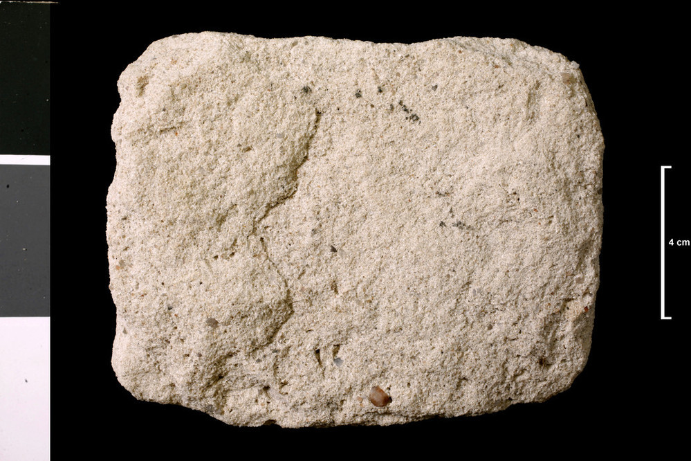
| Caption: | Soft sandstone. Kimmeridge; bed 10, see Mem p. 104. 200 ft up from mouth of stream, Allt na Cuile, 1 mile 266 yds W 26 deg S from Loth Railway Station. |
| Description: | Collection No: SSC 15078. SampleNo. M3652. Collector: W Manson |
| Copyright statement: | UKRI |
| X longitude/easting: | 294010 |
| Y latitude/northing: | 909350 |
| Coordinate reference system, ESPG code: | 27700 (OSGB 1936 / British National Grid) |
| Orientation: | Landscape |
| Size: | 226.20 KB; 999 x 666 pixels; 85 x 56 mm (print at 300 DPI); 264 x 176 mm (screen at 96 DPI); |
| Average Rating: | Not yet rated |
| Categories: | Geoscience subjects/ Rocks/ Scotland/ County/ Sutherlandshire, Geoscience subjects/ Rocks/ Scotland/ Geological one-inch sheet/ Sheet 103 Golspie |
| Collection ID number: | Collection No: SSC 15078. |
Loading...
Loading...
Reviews
There is currently no feedback