| P number: | P1015222 |
|---|---|
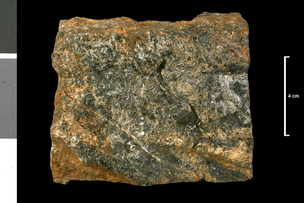
| Caption: | Schist. Below dyke. 650 yds E 10 deg N of NE point of Loch Sail an Ruathair. |
| Description: | Collection No: SSC 14839. SampleNo. E1195. Collector: R Eckford and J Phemister |
| Copyright statement: | UKRI |
| X longitude/easting: | 234060 |
| Y latitude/northing: | 915090 |
| Coordinate reference system, ESPG code: | 27700 (OSGB 1936 / British National Grid) |
| Orientation: | Landscape |
| Size: | 251.36 KB; 999 x 666 pixels; 85 x 56 mm (print at 300 DPI); 264 x 176 mm (screen at 96 DPI); |
| Average Rating: | Not yet rated |
| Categories: | Geoscience subjects/ Rocks/ Scotland/ Geological one-inch sheet/ Sheet 102 Lairg, Geoscience subjects/ Rocks/ Scotland/ County/ Sutherlandshire |
| Collection ID number: | Collection No: SSC 14839. |
Loading...
Loading...
Reviews
There is currently no feedback