| P number: | P1014728 |
|---|---|
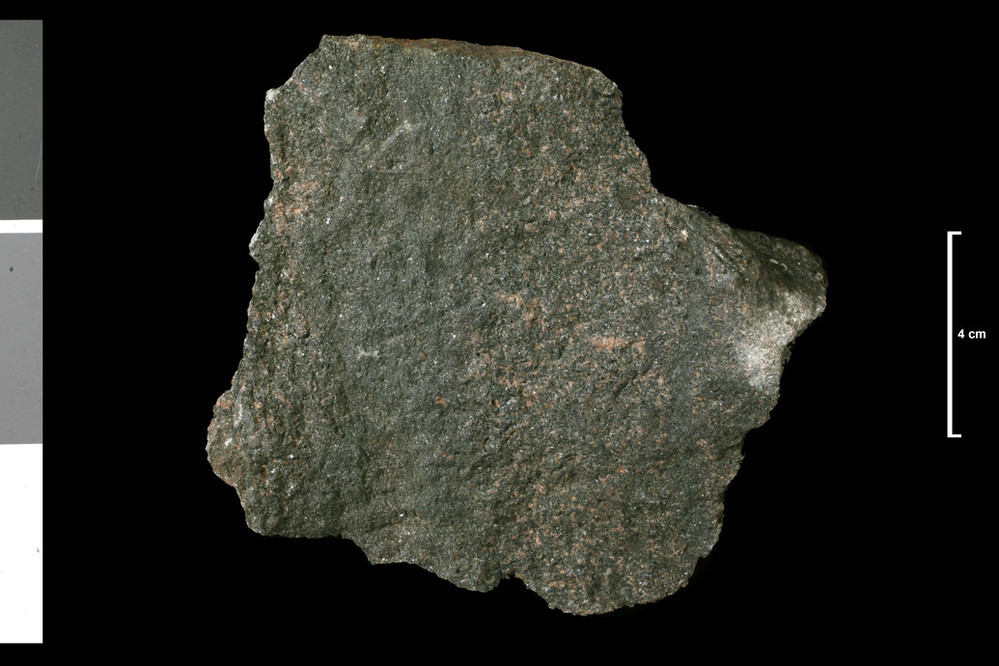
| Caption: | Lamprophyre. [No dyke marked on any map here!]. Burn, 0.25 mile ENE of outlet, Loch Bad a' Bhathaich. |
| Description: | Collection No: SSC 14365. SampleNo. U3195. |
| Copyright statement: | UKRI |
| X longitude/easting: | 254600 |
| Y latitude/northing: | 879100 |
| Coordinate reference system, ESPG code: | 27700 (OSGB 1936 / British National Grid) |
| Orientation: | Landscape |
| Size: | 153.16 KB; 999 x 666 pixels; 85 x 56 mm (print at 300 DPI); 264 x 176 mm (screen at 96 DPI); |
| Average Rating: | Not yet rated |
| Categories: | Geoscience subjects/ Rocks/ Scotland/ County/ Ross and Cromarty, Geoscience subjects/ Rocks/ Scotland/ Geological one-inch sheet/ Sheet 93 Alness |
| Collection ID number: | Collection No: SSC 14365. |
Loading...
Loading...
Reviews
There is currently no feedback