| P number: | P1013672 |
|---|---|
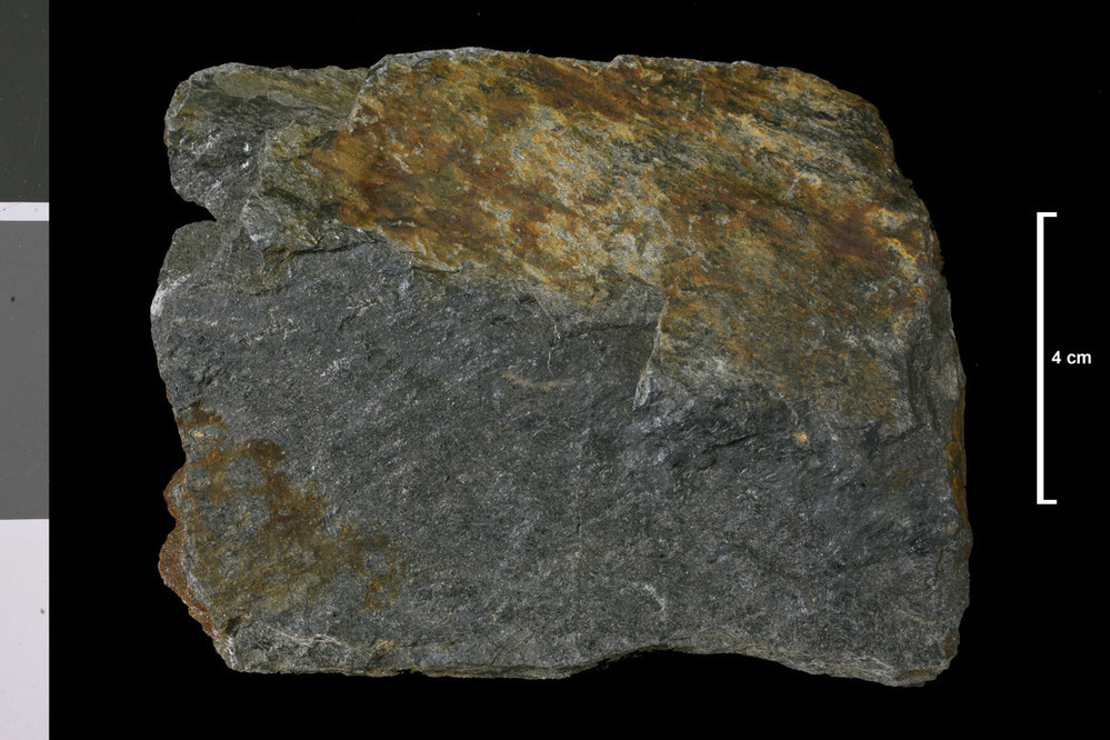
| Caption: | Slaty 'black schist'. Stream between Blackhillock and Tulloch, 2 miles N of Dufftown. |
| Description: | Collection No: SSC 13614. SampleNo. T74. Collector: D Tait |
| Copyright statement: | UKRI |
| X longitude/easting: | 332600 |
| Y latitude/northing: | 843000 |
| Coordinate reference system, ESPG code: | 27700 (OSGB 1936 / British National Grid) |
| Orientation: | Landscape |
| Size: | 192.02 KB; 999 x 666 pixels; 85 x 56 mm (print at 300 DPI); 264 x 176 mm (screen at 96 DPI); |
| Average Rating: | Not yet rated |
| Categories: | Geoscience subjects/ Rocks/ Scotland/ County/ Banffshire, Geoscience subjects/ Rocks/ Scotland/ Geological one-inch sheet/ Sheet 85 Rothes |
| Collection ID number: | Collection No: SSC 13614. |
Loading...
Loading...
Reviews
There is currently no feedback