| P number: | P1013271 |
|---|---|
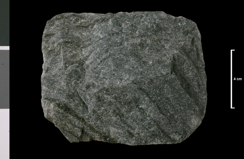
| Caption: | Banded granulite. Of Moine type. Foot of Chabet Water, 5 miles N of Tomintoul. |
| Description: | Collection No: SSC 12880. SampleNo. U2410. |
| Copyright statement: | UKRI |
| X longitude/easting: | 315600 |
| Y latitude/northing: | 826600 |
| Coordinate reference system, ESPG code: | 27700 (OSGB 1936 / British National Grid) |
| Orientation: | Landscape |
| Size: | 189.48 KB; 999 x 654 pixels; 85 x 55 mm (print at 300 DPI); 264 x 173 mm (screen at 96 DPI); |
| Average Rating: | Not yet rated |
| Categories: | Geoscience subjects/ Rocks/ Scotland/ Geological one-inch sheet/ Sheet 75 Tomintoul, Geoscience subjects/ Rocks/ Scotland/ County/ Banffshire |
| Collection ID number: | Collection No: SSC 12880. |
Loading...
Loading...
Reviews
There is currently no feedback